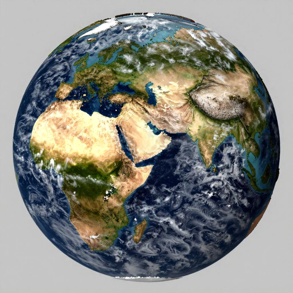
Photorealistic CGI of Earth focusing on Africa, Middle East, and Europe, showing detailed topography, cloud patterns, and vibrant landmass colors.
Prompt:
Realistic earth map displayed in natural colors, including deserts, jungles, tundras, and plains, enhanced with realistic textures and atmospheric haze, visible cloud formations over oceans, detailed coastlines and island chains, satellite view with high detail and clarity.
Model:
"Use prompt" will open Create Image tool and will load the prompt
"Remix" will open Create Image tool with this photo set as Reference
Image description:
This is a CGI-rendered image of Earth, focusing on Africa and the Middle East. The planet is shown from a slightly angled top-down perspective. Africa is prominently displayed in the center, with the Sahara Desert depicted in bright yellow and beige, contrasting with green and brown regions representing vegetation and mountains. The Indian Ocean and Mediterranean Sea are visible in dark blue, surrounded by swirling white clouds. The Middle East is visible to the right, with parts of the Arabian Peninsula and the Persian Gulf. The image has a realistic texture and detailed coloration, highlighting geographical features.
Related keywords:
Image license:
Royalte-free