Map showing topography of Europe with green elevations, yellow lowlands, labeled "Kingdom" and "8-4-90" in top
Prompt:
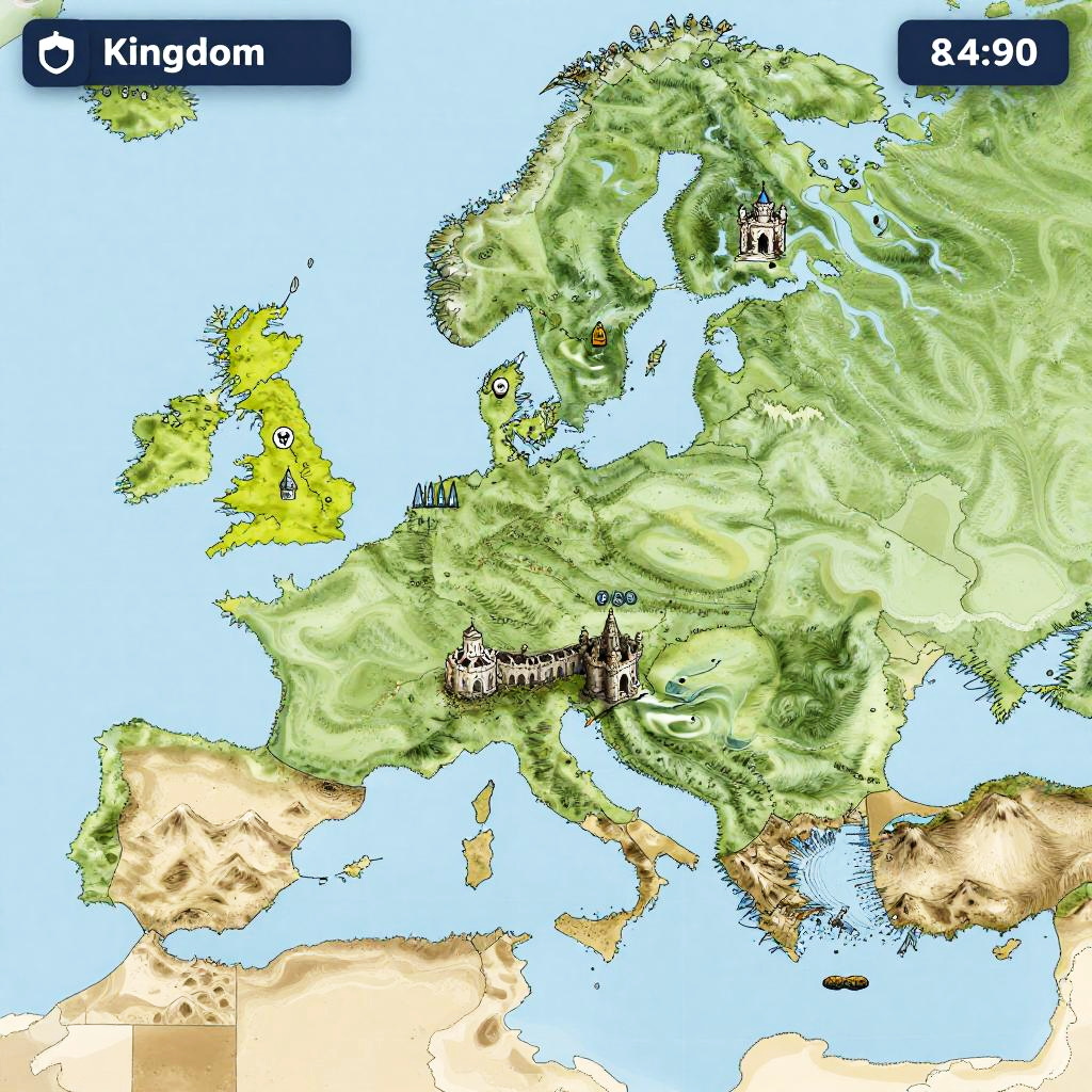
Kingdom map generator interface with a dynamic grid overlay on a stylized fantasy map, featuring multiple kingdoms with distinct borders, castle icons scattered throughout, detailed topography with mountains and waterways in hand-inked style
Model:
"Use prompt" will open Create Image tool and will load the prompt
"Remix" will open Create Image tool with this photo set as Reference
Image description:
This is a digital map of Europe, showcasing topographic relief with green and yellow colors indicating varying elevations. The map includes labeled landmarks: a black castle symbol near the center, a white church symbol to the right, and a small red star to the left. The top left corner has a blue rectangle labeled "Kingdom" with an icon, and the top right corner displays "8:45" in white text. Surrounding water bodies are blue, while land areas vary from green (lowlands) to yellow (highlands). The map includes parts of the UK, France, Germany, and surrounding regions.
Related keywords:
Image license:
Royalte-free