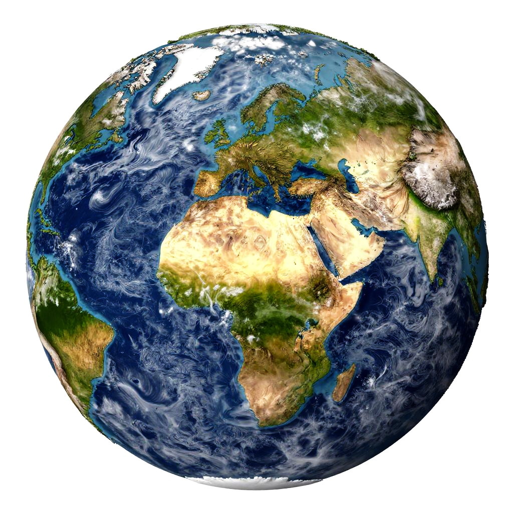
Photorealistic CGI of Earth from space, highlighting Africa and Europe with vivid blue oceans, green landmasses, and detailed cloud patterns.
Prompt:
Realistic earth map showcasing detailed continents and oceans with topographic textures, vibrant colors highlighting various terrain elevations and climate zones, satellite view style, intricate coastlines and mountain ranges, realistic lighting and atmospheric effects.
Model:
"Use prompt" will open Create Image tool and will load the prompt
"Remix" will open Create Image tool with this photo set as Reference
Image description:
This is a highly detailed, digital CGI image of Earth, focusing on the Northern Hemisphere. The planet is shown from space with vivid colors: deep blue oceans, green and brown landmasses, and white cloud formations. Africa is prominently displayed in the center, with Europe to the north and Asia to the east. The image highlights topography, with mountainous regions in shades of brown and green. The Arctic and Antarctic regions are visible at the top and bottom, respectively. The white clouds are scattered across the blue oceans, giving a textured, dynamic appearance. The background is plain white, emphasizing the planet's vibrant colors.
Related keywords:
Image license:
Royalte-free