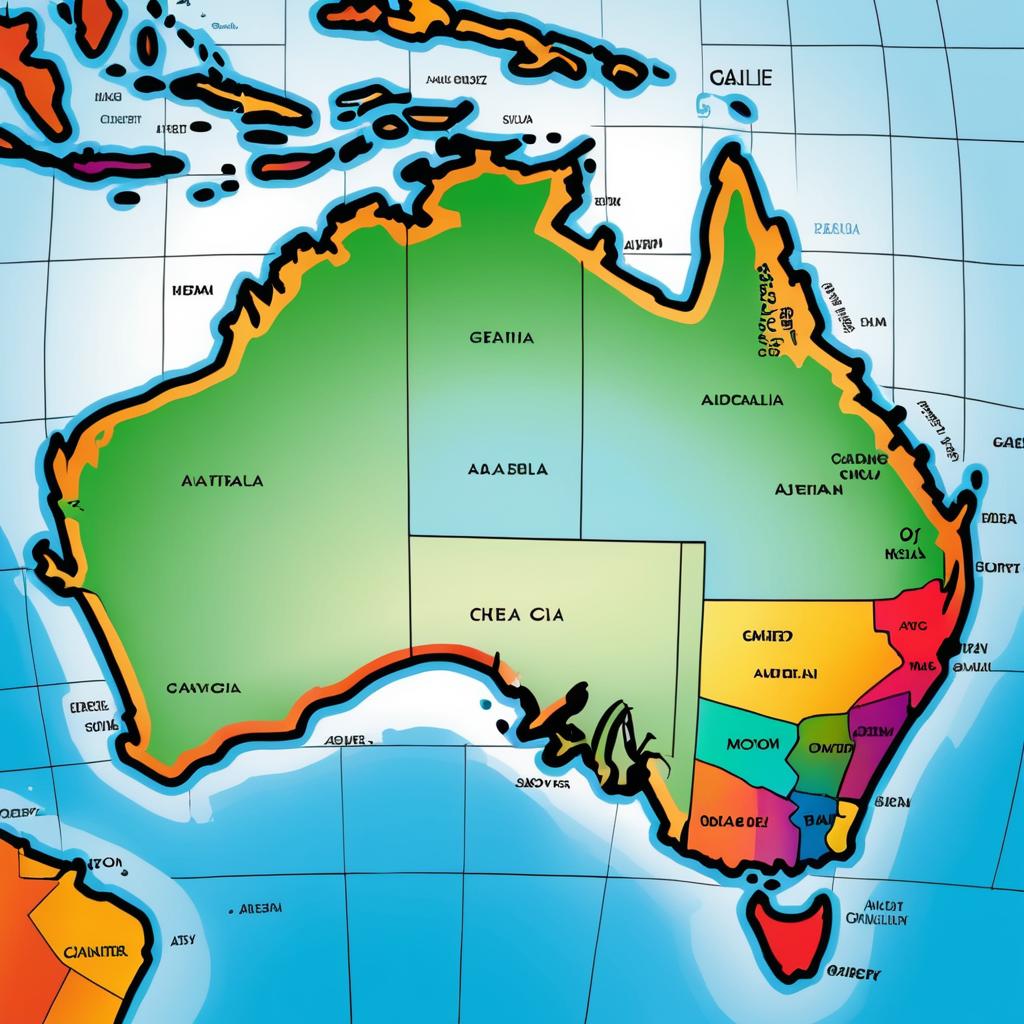
Color-coded map of Australia with state and territory boundaries, labeled, against a blue ocean background, highlighting different regions in distinct colors.
Prompt:
Date a map of australia rendered and expressive rich colors, beautifully colored, sharp attention to detail, sharp attention to small details and textures, settings, ink and marker illustration by j scott campbell hd 8k,
Model:
"Use prompt" will open Create Image tool and will load the prompt
"Remix" will open Create Image tool with this photo set as Reference
Image description:
A colorful, digital map illustration of Australia. The country is shaded in green with bold black borders and labeled with states and territories in black text. Western Australia, Northern Territory, Queensland, South Australia, New South Wales, Victoria, Tasmania, and Australian Capital Territory are clearly marked. Surrounding oceans are blue, and neighboring countries like Papua New Guinea, Timor-Leste, and Indonesia are partially visible. States and territories are colored differently: Western Australia in yellow, Northern Territory in light green, Queensland in orange, South Australia in pink, New South Wales in red, Victoria in light purple, Tasmania in dark green, and Australian Capital Territory in light blue.
Related keywords:
Image license:
Royalte-free