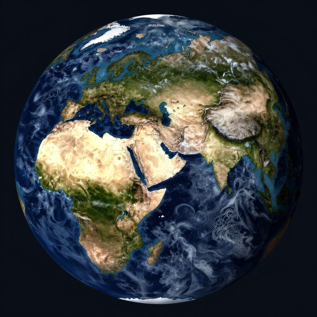
Photorealistic CGI of Earth showing Africa and Europe with detailed topography, including deserts, green landscapes, and ocean swirls in deep blue.
Prompt:
Realistic earth map with focus on natural features like rivers, deserts, forests, and mountain ranges, high-resolution satellite imagery effect, accurate geopolitical boundaries subtly marked, deep blue oceans with wave patterns, cloud cover casting shadows, daylight side of the planet.
Model:
"Use prompt" will open Create Image tool and will load the prompt
"Remix" will open Create Image tool with this photo set as Reference
Image description:
This is a highly detailed, digitally rendered photograph of Earth from space, focusing on Africa and Europe. The image showcases vibrant colors: green and brown landmasses, white cloud formations, and deep blue oceans. Africa's Sahara Desert is prominently highlighted in yellow and beige, contrasting with the green of the surrounding regions. Europe is partially visible, with Italy and parts of the Mediterranean Sea. The dark blue of the Atlantic Ocean surrounds Africa, while swirling white clouds cover parts of the Pacific Ocean in the bottom right. The black background of space emphasizes the planet's spherical shape.
Related keywords:
Image license:
Royalte-free