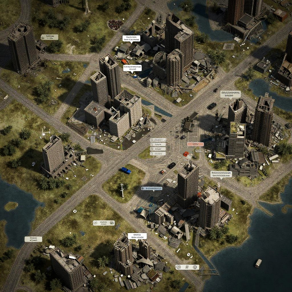
Aerial photograph of a detailed, CGI cityscape with labeled buildings, green parks, intersecting roads, and a waterfront, highlighting urban density and layout
Prompt:
Map AI generator producing a post-apocalyptic survival map with ruined cities, safe zones, and resource locations, gritty textures and desaturated color palette conveying a desperate atmosphere, scattered debris and collapsed structures.
Model:
"Use prompt" will open Create Image tool and will load the prompt
"Remix" will open Create Image tool with this photo set as Reference
Image description:
Aerial photograph of a detailed, sunlit cityscape with a mix of modern and traditional buildings. The image showcases a grid-like layout of streets intersecting at various points. Tall, rectangular skyscrapers dominate the center, surrounded by smaller, varied structures. Green patches of grass and trees are interspersed throughout, particularly around the periphery near water bodies. White text labels are scattered across the image, pointing to specific locations. Shadows cast by buildings create a textured, three-dimensional effect. The overall color palette includes greens, browns, and blues, with a mix of architectural styles and materials.
Related keywords:
Image license:
Royalte-free