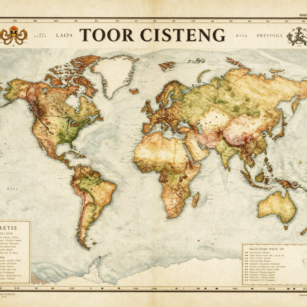
Detailed world map illustration titled "TOUR CITIES" showing country outlines with varying shades of brown, green, and yellow, highlighting regions.
Prompt:
1800 world map featuring detailed exploration routes and trade winds patterns, antique ink and watercolor style, intricate typography in old-fashioned fonts, rich textures of vellum paper, emblematic sea creatures in the oceans, historically accurate political boundaries, soft golden lighting
Model:
"Use prompt" will open Create Image tool and will load the prompt
"Remix" will open Create Image tool with this photo set as Reference
Image description:
This is a detailed, colorized world map titled "TOOR CISTEN" with a vintage style. The map features shaded relief to depict topography, with lighter areas indicating lower elevations and darker areas highlighting higher elevations. Countries are outlined in black, and major geographic features, such as oceans and continents, are labeled. The map uses a warm color palette with greens, yellows, browns, and reds to represent different land elevations. Topographic contour lines are visible, adding texture. The title "TOOR CISTEN" is prominently displayed at the top in bold, black letters. The map includes a key and scale at the bottom, and small decorative illustrations flank the title.
Related keywords:
Image license:
Royalte-free