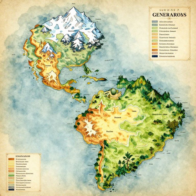
Color-coded map of North and South America showing vegetation types, including desert, grassland, and forest, with snow-capped mountains and ocean.
Prompt:
Island generator map depicting a vast, intricate island chain with varied biomes including snowy peaks, golden deserts, emerald jungles, and sprawling plains, hand-drawn in watercolor style and enhanced with labels, legends, and old parchment textures.
Model:
"Use prompt" will open Create Image tool and will load the prompt
"Remix" will open Create Image tool with this photo set as Reference
Image description:
This is a detailed, colorful map illustrating the genetic diversity of species in the Americas. The map uses a gradient of green, yellow, orange, and red to indicate different levels of genetic diversity. The northernmost regions, including the Alaska Peninsula and northern Canada, are highlighted in white with snow-capped mountains. The southeastern United States is the most vibrant in red, indicating high diversity, while South America's western coast is green, indicating lower diversity. The map includes a legend in the top right corner explaining the color codes. Ocean areas are depicted in blue, with country borders faintly shown. The overall style is cartographic, combining scientific illustration with geographical mapping.
Related keywords:
Image license:
Royalte-free