Detailed topographical map of Eurasia, highlighting various climate zones in color; labeled regions include Siberia, Japan, and Northern Europe.
Prompt:
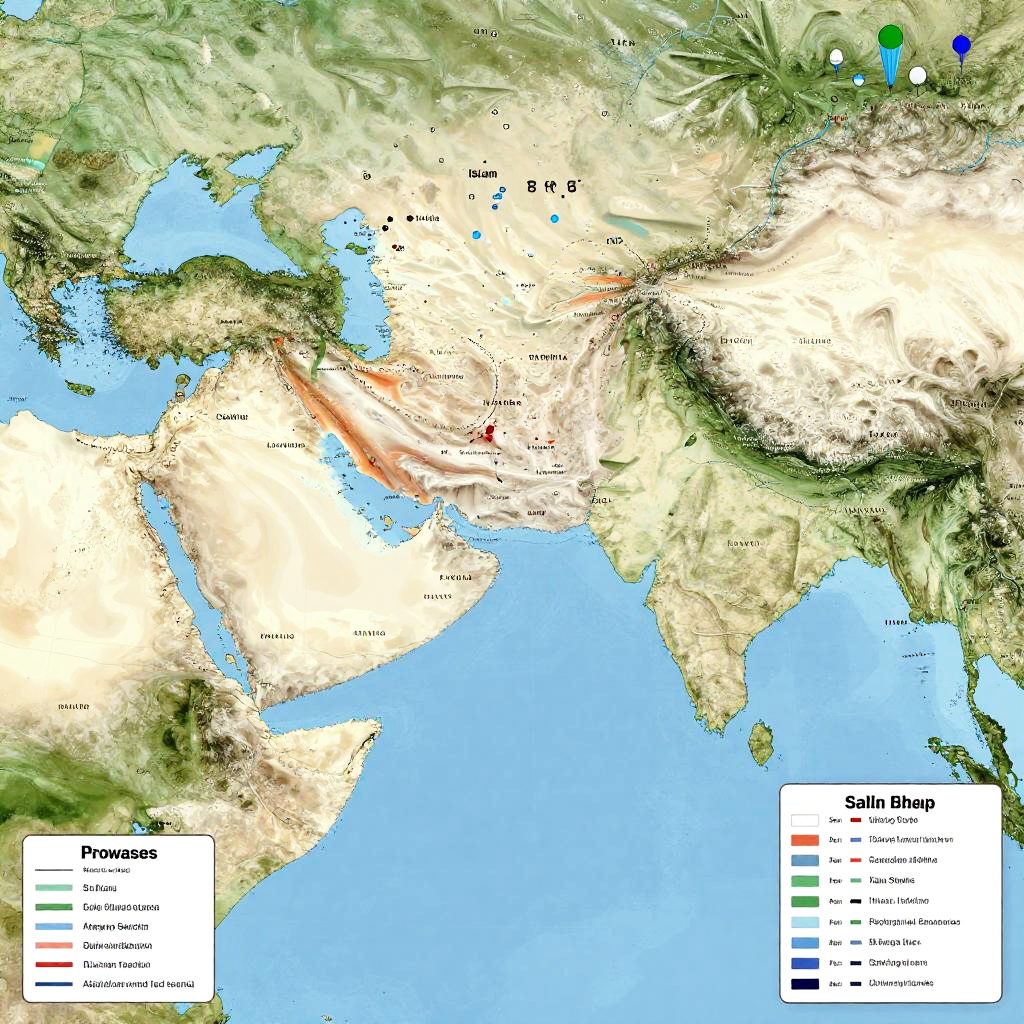
Islam diffusion map emphasizing the spread along Silk Road and maritime routes, blending traditional map aesthetics with modern infographic elements and historical symbols.
Model:
"Use prompt" will open Create Image tool and will load the prompt
"Remix" will open Create Image tool with this photo set as Reference
Image description:
A detailed, colorful topographic map of Asia and Europe, highlighting elevation and geographical features. The map uses shades of green, brown, and white to denote elevation, with blue representing water bodies. Countries are labeled, and a legend in the bottom right explains color codes for elevation, including "Shallow Water," "Shallow Sea," and "Mountainous." The map also includes small blue and green dots indicating data points. The topographic relief is prominently shown through raised and lowered areas, providing a three-dimensional visual effect.
Related keywords:
Image license:
Royalte-free