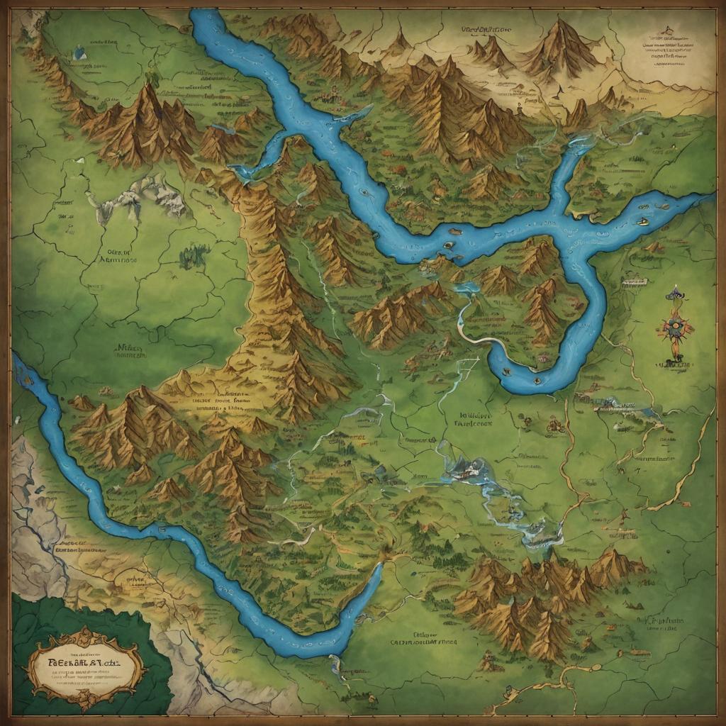
Colored map of a fantasy continent with mountain ranges, rivers, and labeled regions, featuring a compass, decorative borders, and detailed topography.
Prompt:
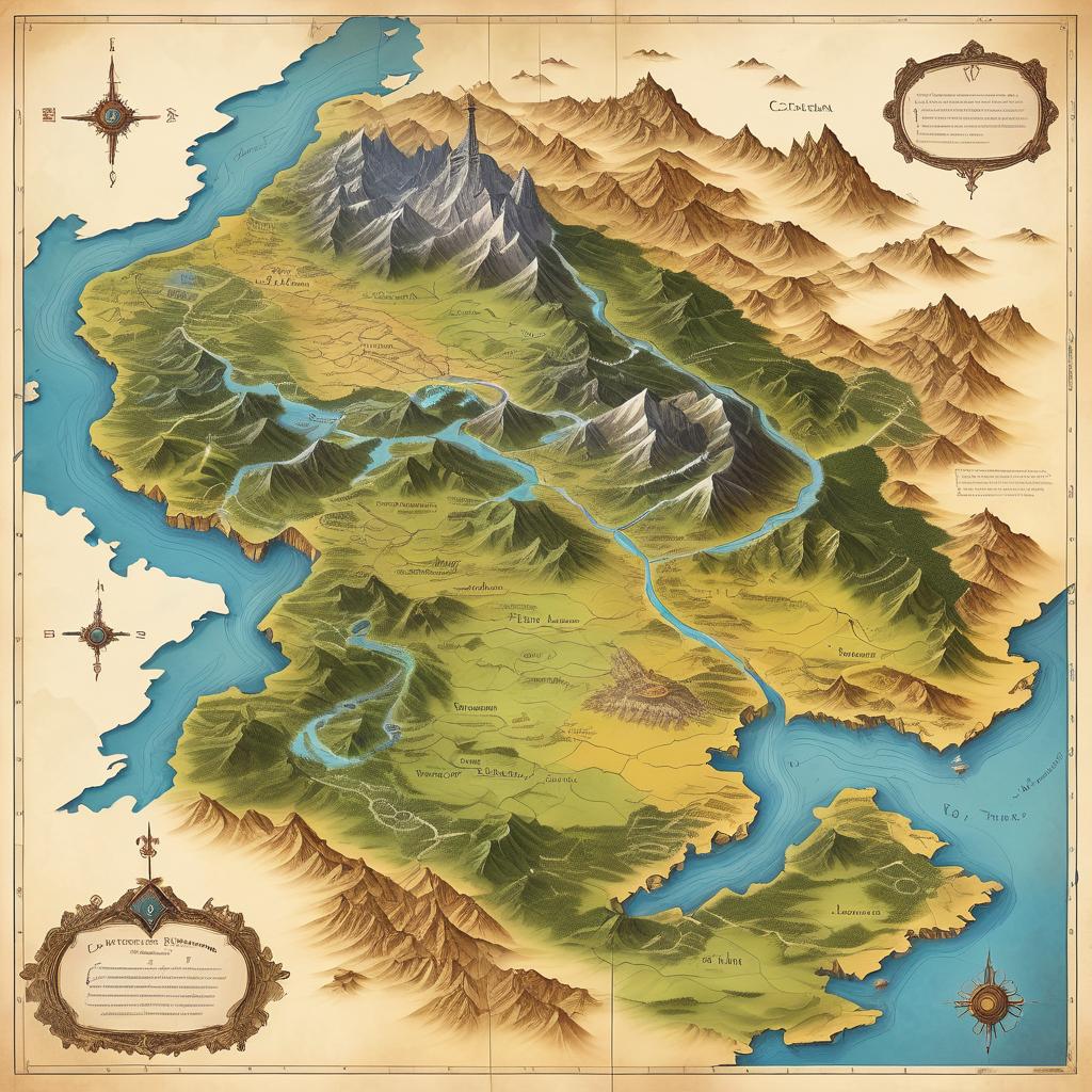
A fantasy map illustrating a eastern territory, featuring a towering mountains at the bottom, with deep valleys and bright meadows in the center, while the northern area includes rolling hills and rivers, bordered by a desert to the east.
Model:
"Use prompt" will open Create Image tool and will load the prompt
"Remix" will open Create Image tool with this photo set as Reference
Image description:
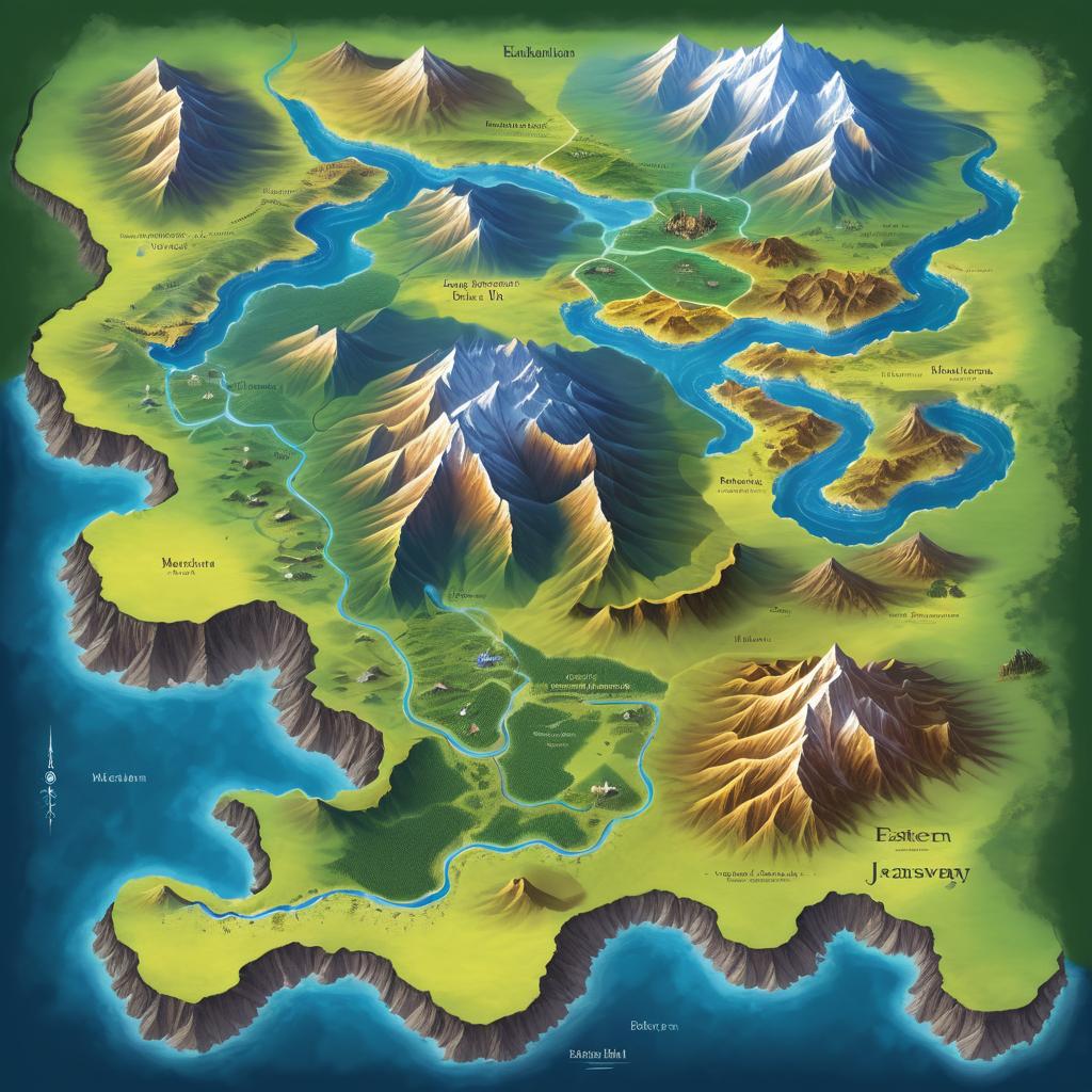
This is a detailed, colorful, topographic map of the fictional continent of Valyria, created in a digital art style. The map showcases varied elevations with green lowlands, yellow plains, and brown mountain ranges. Snow-capped peaks are prominent in the northwest. Blue rivers wind through the landscape, and the surrounding waters are labeled "Sea". The map includes a compass rose in the top left and bottom right corners, with decorative frames and labels for the continent and its surrounding seas. The map is bordered by a cream-colored background, and the artist's signature is located in the bottom right corner.
Related keywords:
Image license:
Royalte-free