Black-and-white technical drawing of a top-down landscape view, featuring labeled hills, a fence, road, buildings, and scattered trees.
Prompt:
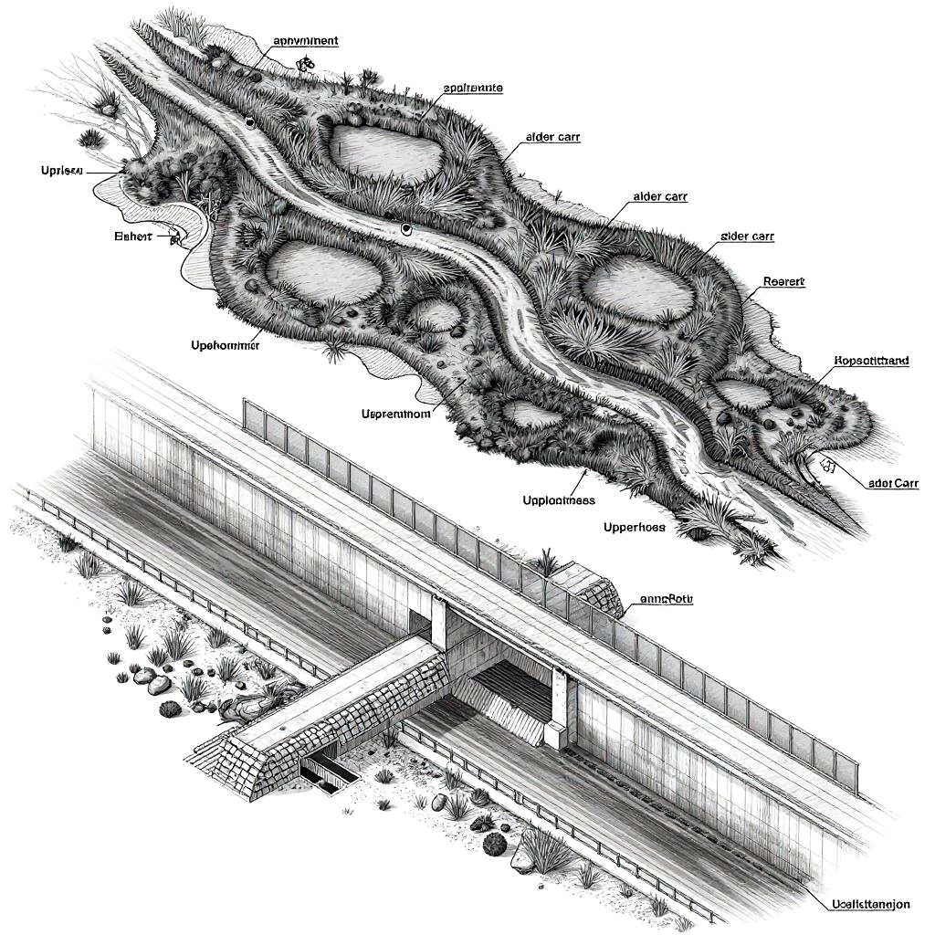
Isometric engineering blueprint with cross-sectional annotations and halftone shading of a river system divided into upstream and downstream sections. Upstream: peatland-fed headstream meandering through sphagnum bogs, alder carr, and scattered beaver ponds, rendered with precise labels, topographical shading, and fine hatching. Downstream: deep concrete flood channel with armored riprap, grated culverts, and an adjacent elevated expressway with noise barriers, showcasing engineered canalization and the stark contrast between natural flow and human intervention.
Model:
"Use prompt" will open Create Image tool and will load the prompt
"Remix" will open Create Image tool with this photo set as Reference
Image description:
This black-and-white technical drawing depicts a detailed topographical map and cross-sectional view of a hilly landscape. The top half shows a rugged terrain with labeled points, including "Urbana" and "Joliet," indicating locations. The bottom half is a cross-sectional view of a highway with a fence running along its length. The highway intersects with a smaller road and features various labeled elements, such as "Joliet" and "Urbana." The drawing uses hatching and cross-hatching techniques to create texture and depth, highlighting elevations and infrastructure. The labels and technical style suggest a survey or engineering diagram.
Related keywords:
Image license:
Royalte-free