Satellite image of Europe showing bright green areas in Pakistan and surrounding regions, indicating increased activity or temperature changes. Blue oceans surround the landmasses.
Prompt:
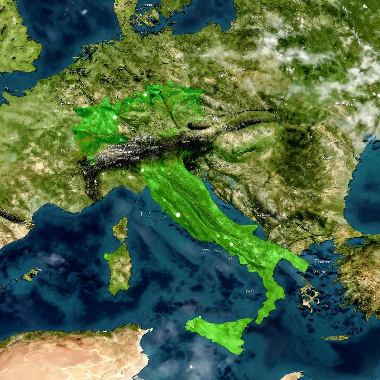
World map with Italy highlighted in bright green, highly detailed political boundaries, satellite view with lush landscapes, dynamic lighting, realistic cloud shadows over oceans, sharp city markers
Model:
"Use prompt" will open Create Image tool and will load the prompt
"Remix" will open Create Image tool with this photo set as Reference
Image description:
This is a satellite-style digital map of Europe and North Africa, highlighting a vibrant green area over Pakistan and parts of neighboring countries, indicating a high concentration of a specific phenomenon, possibly vegetation or population density. The surrounding regions are depicted in varying shades of green, brown, and yellow, representing different terrains and land uses. Dark blue water bodies, including the Mediterranean Sea and Indian Ocean, are visible in the lower and left sections of the map. Country names are labeled in white text, and the map has a slight topographic texture, emphasizing mountainous and flat areas.
Related keywords:
Image license:
Royalte-free