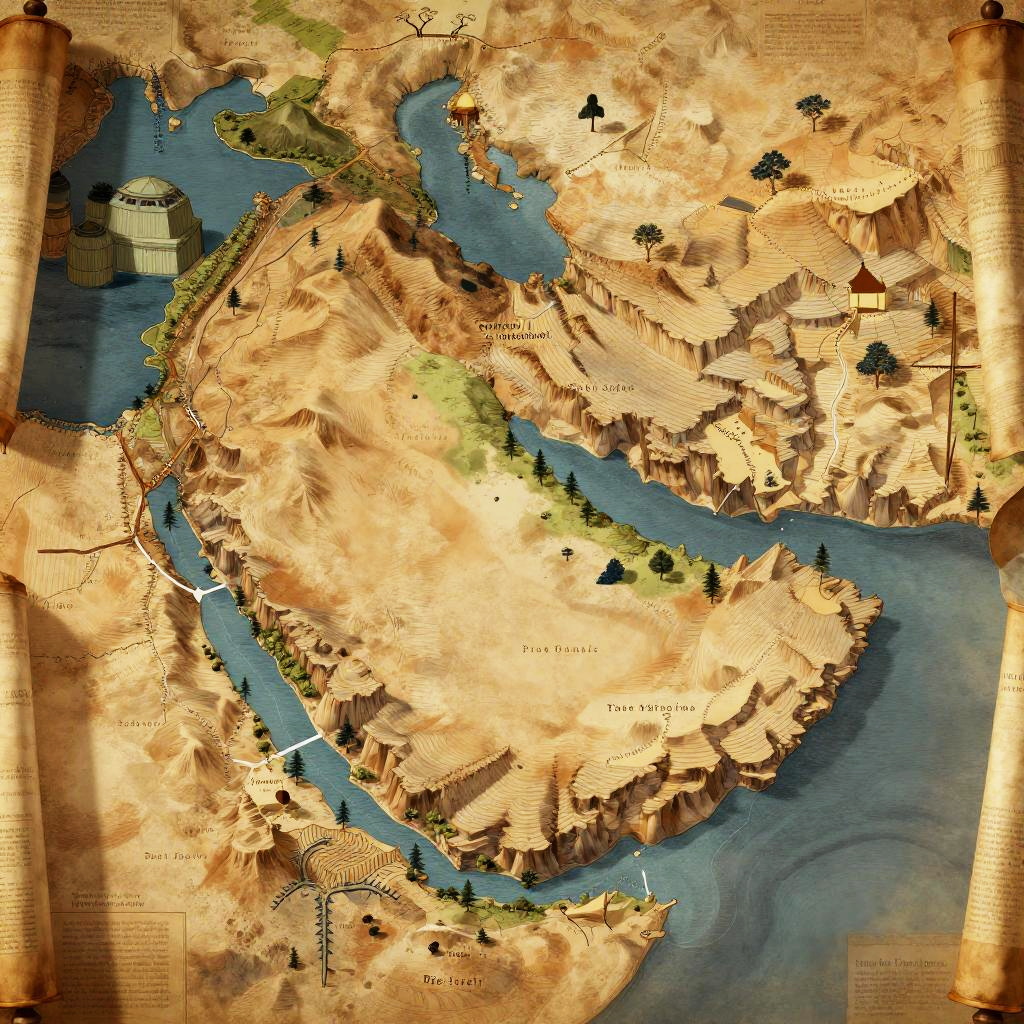
Ancient map illustration of a landmass with detailed 3D-style buildings, winding blue rivers, and parchment texture, featuring labeled regions.
Prompt:
Ancient Israel geography, stylized artistic rendering with dramatic lighting, showing key geographical elements such as hills, rivers, and plateaus, ancient scroll background
Model:
"Use prompt" will open Create Image tool and will load the prompt
"Remix" will open Create Image tool with this photo set as Reference
Image description:
This is a digitally created, map-style illustration with a parchment-like texture. It features a detailed topographic map of a fictional land, with blue rivers winding through a tan and brown landscape. The land is dotted with small black trees and labeled with various city names in black text. A cylindrical structure is located in the upper left corner near the river. The map is bordered by aged, brown parchment edges with visible creases and slight discoloration, giving it an antiquated, historical feel. The overall style blends cartographic detail with a vintage aesthetic.
Related keywords:
Image license:
Royalte-free