Pixu.ai
Creator Studio
Login / Signup
  • Home Home
  • Pricing plans Pricing plans
  • Prompts gallery T Prompts
  • People images gallery People images
  • People illustrations gallery People illustrations
  • Articles Articles
  • API API
  • About us About us
  • Login / Signup
  • Contact us:
×

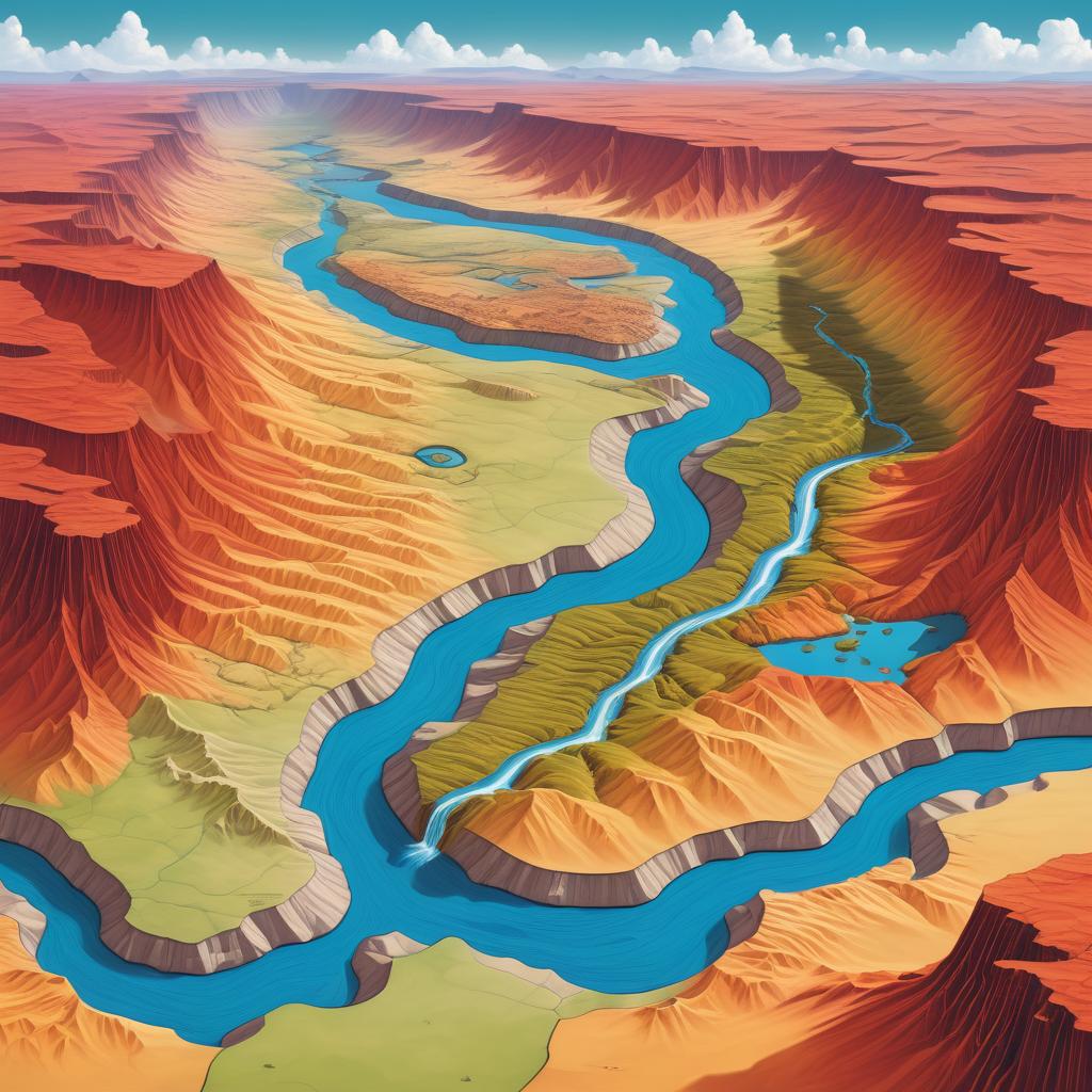
Detailed, colorful topographic map of the southwestern United States, highlighting the winding blue Colorado River through Arizona, California, Nevada, and Utah.

Prompt:

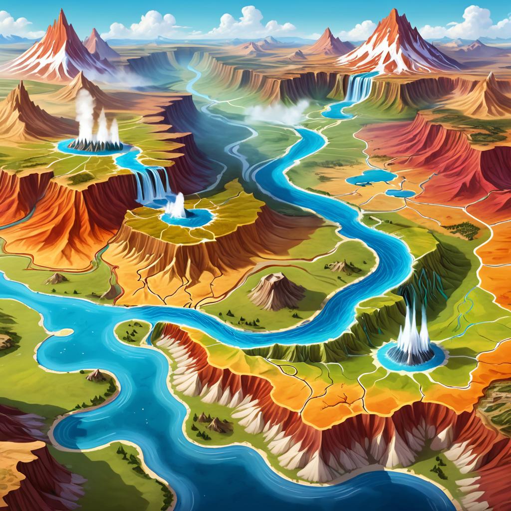
A fantasy map illustrating a midwestern lands, featuring fluxing geysers at the bottom, with undulating hills and richly colored canyons in the center, while the northern area includes rolling hills and rivers, bordered by a desert to the east.

Model:

Realistic

"Use prompt" will open Create Image tool and will load the prompt

"Remix" will open Create Image tool with this photo set as Reference

Image description:

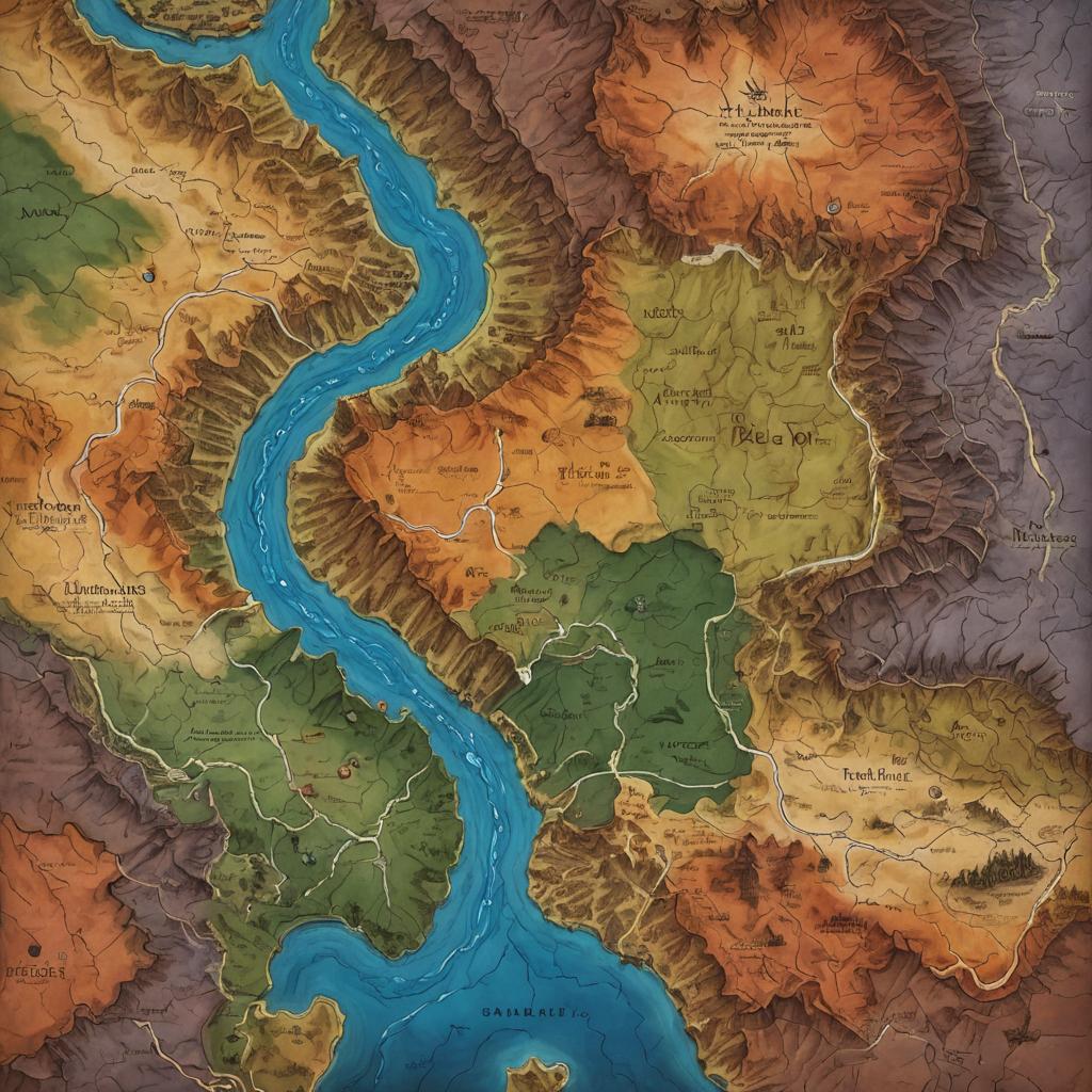
This is a detailed, colorful digital map showing a topographic view of a region with a prominent winding blue river. The map uses various shades of green, brown, orange, and purple to indicate different elevations and terrain types. The river snakes from the bottom center towards the top left. Surrounding the river are labeled regions, including "Arzina" and "Dhalin," with smaller labels for cities and landmarks. The map is highly textured, with raised and lowered areas to represent mountains and valleys. The style is realistic and cartographic, emphasizing geographical features and natural elements.

Related keywords:

adventure map
bird
blue river
blue river flowing
blue sky
blue water
brown hills
canyons
cartographic
cave
cloud
color contrast
Colorado River
colorful map
day
desert
desert areas
detailed texture
digital art
digital illustration
digital map
elevation gradient
english text
fantasy
fantasy cartography
fantasy geography
fantasy landscape
fantasy map
fantasy terrain
fantasy world
fictional map
geographic features
geographic map
geographical features
geyser
geysers
green mountains
hills
illustrated map
illustration
imaginary lands
labeled regions
landscape
landscape map
map
map art
map illustration
midwestern
midwestern lands
mountain
mountain range
mountainous regions
nature
navigation map
no humans
orange deserts
outdoors
river
river winding
rivers
rolling hills
scenery
shaded relief
sky
terrain
terrain variation
topographic
topographic map
tree
undulating hills
water
waterbody
waterfall
western landscape
western states
western United States
western USA
white lines
See all 35 tags

Image license:

Royalte-free

More images from this prompt template:

Similar prompts

❮ ❯