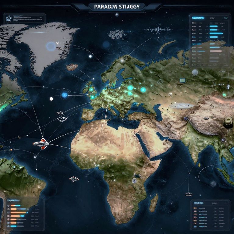
Detailed, colorful parallax view of the world map highlighting flight paths with blue markers, topographic features, and various data overlays.
Prompt:
Paradox grand strategy futuristic map showing interstellar empires, star systems connected with trade routes, spaceships war fleets, political intrigue visuals, glowing zones of influence, sleek high-tech interface, rich details, and a sense of vast cosmic strategy.
Model:
"Use prompt" will open Create Image tool and will load the prompt
"Remix" will open Create Image tool with this photo set as Reference
Image description:
This is a detailed, digital, topographical map of the world with a focus on Pakistan, labeled "Pakistan Strategy." The map uses a night-time color scheme, with dark blue oceans and illuminated landmasses. Bright blue dots represent strategic locations, with white lines connecting them to various points. The map includes a color-coded legend on the left and right sides, detailing different data sets. Mountainous regions are highlighted in light brown, while deserts are depicted in beige. The map features exaggerated topographical features, with clear demarcations of continents and countries. The background is predominantly dark, emphasizing the illuminated areas.
Related keywords:
Image license:
Royalte-free