Color-coded map of Indonesia showing provinces with different colors indicating levels of conflict intensity, including yellow, red, green, and blue.
Prompt:
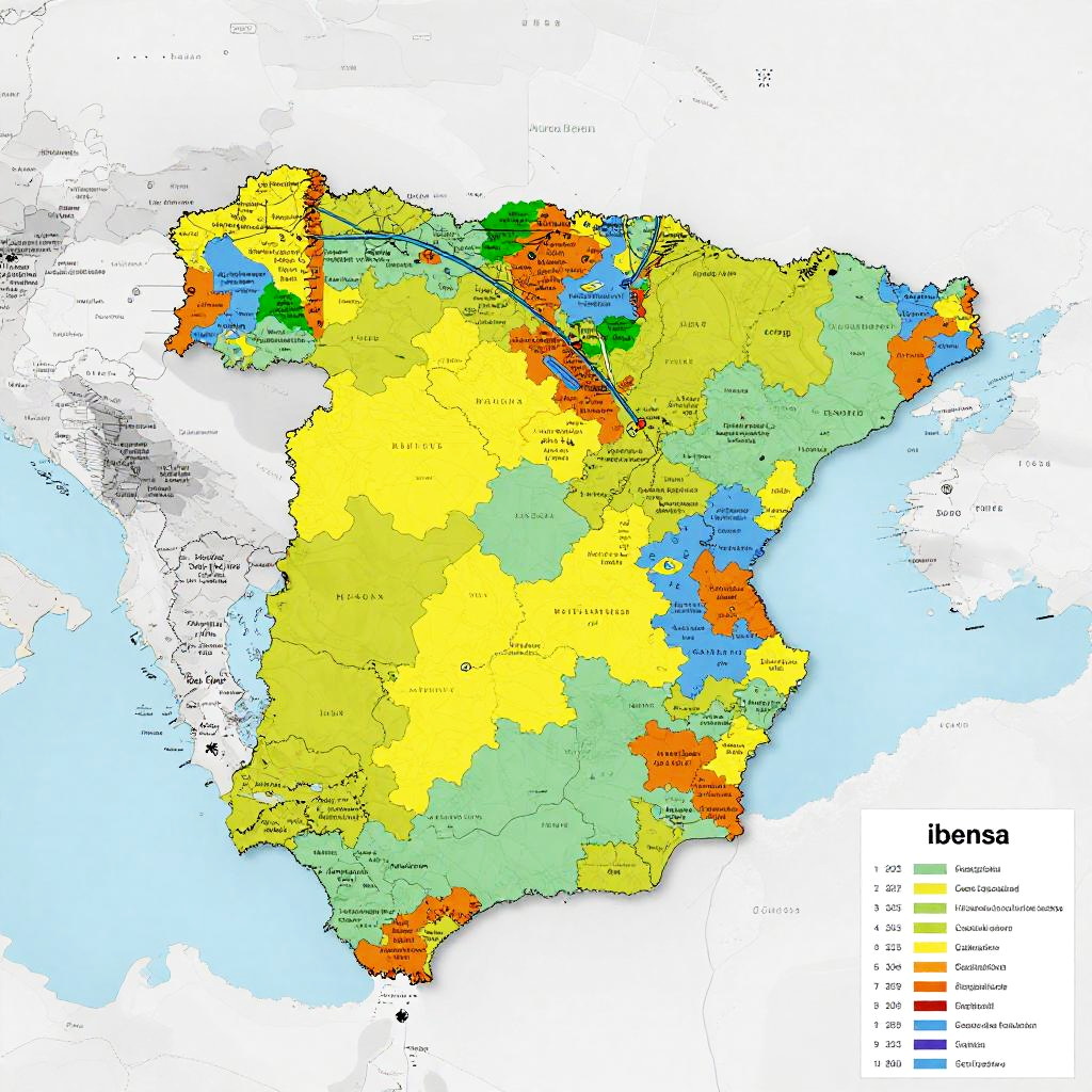
Iberian Peninsula language depicted on a digital map overlay showing linguistic regions, modern infographic style combined with traditional script elements, bright colors and sharp lines
Model:
"Use prompt" will open Create Image tool and will load the prompt
"Remix" will open Create Image tool with this photo set as Reference
Image description:
This is a detailed, colorful map of Indonesia, showing administrative regions with different colors for each province. The map uses yellow for Sumatra, green for Java, blue for Bali and Lombok, orange for Kalimantan, and red for Sulawesi, among others. Each province is labeled with its name. The map also includes surrounding bodies of water in light blue. A key in the bottom right corner explains the color coding for provinces. The map is digitally created and has a clean, modern look with clear, bold borders and labels. The background is white, emphasizing the vibrant colors of the provinces.
Related keywords:
Image license:
Royalte-free