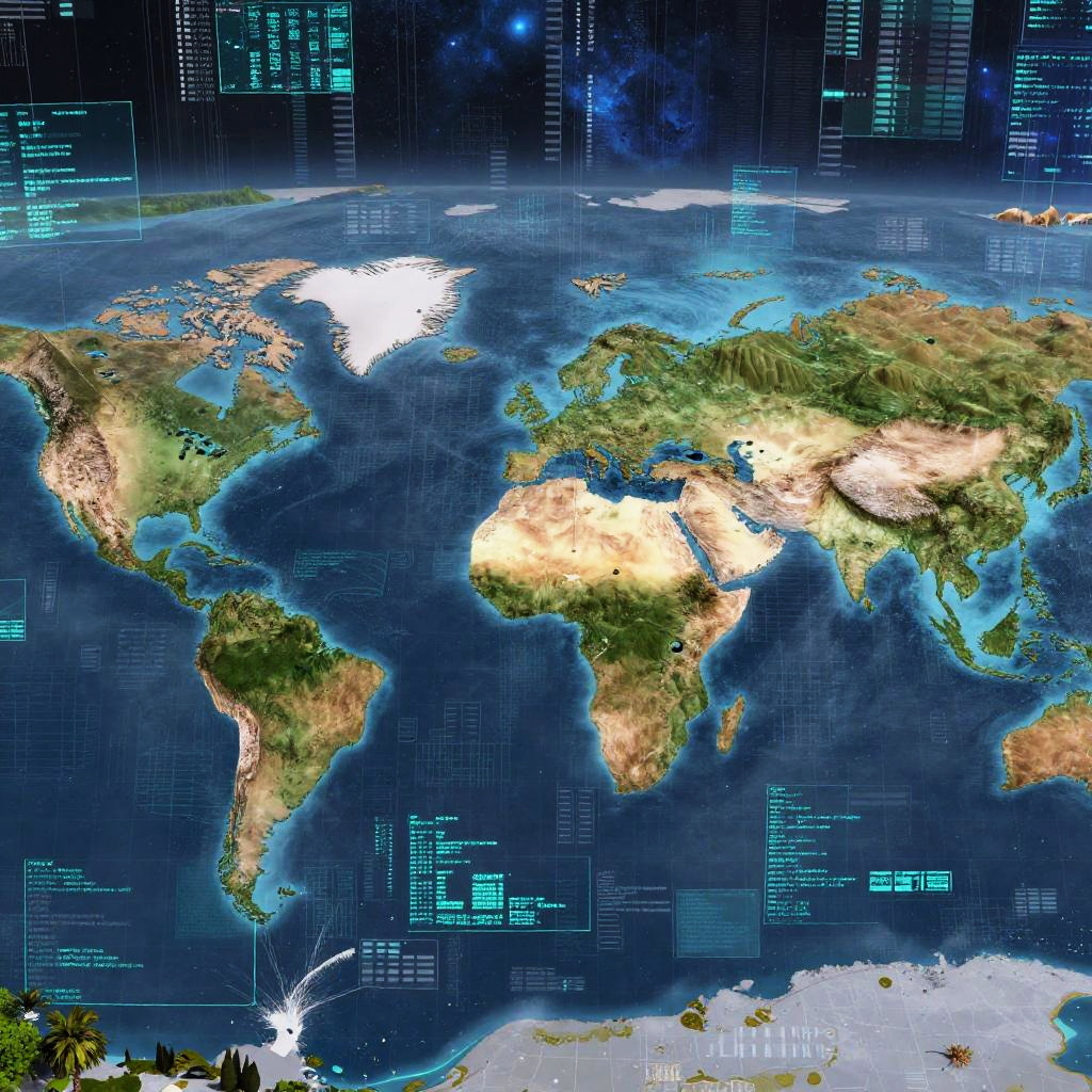
Detailed CGI world map with vivid colors, highlighting continents, oceans, and digital overlays with text and data, set against a dark blue background.
Prompt:
Imagery of an AI place generator visualizing limitless virtual worlds, with streams of data transforming into diverse geographic features — rivers, hills, urban grids — framed by a cosmic digital backdrop, rendered in vibrant, futuristic colors.
Model:
"Use prompt" will open Create Image tool and will load the prompt
"Remix" will open Create Image tool with this photo set as Reference
Image description:
This is a digitally rendered, highly detailed, three-dimensional map of the Earth viewed from space. The map highlights continents in various shades of green, brown, and beige to indicate terrain and vegetation, with oceanic areas depicted in deep blue. Notable landmasses, such as North and South America, Africa, Europe, Asia, and Australia, are clearly visible. White areas represent ice caps, prominently shown over Antarctica and parts of the Arctic. The map is overlaid with a grid of blue, glowing, digital text and icons, resembling a futuristic interface, adding a sci-fi aesthetic. The background features a dark, starry space with a blue gradient, enhancing the planet's three-dimensional appearance.
Related keywords:
Image license:
Royalte-free