Detailed topographic map of Asia and Europe, highlighting elevation, terrain, and geographical features, with labeled countries and water bodies.
Prompt:
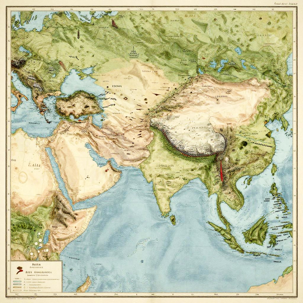
Map of Alexander's empire spread across continents, featuring topographical details, historic landmarks, and troop movements, vintage cartography style, warm muted colors
Model:
"Use prompt" will open Create Image tool and will load the prompt
"Remix" will open Create Image tool with this photo set as Reference
Image description:
This is a detailed, colored topographical map of Asia and surrounding regions, highlighting elevation and terrain. The map uses green for lower elevations, yellow for mid-elevations, and brown for high elevations, with the Himalayas prominently depicted in white. Major rivers are shown in blue, including the Indus and Ganges. Countries such as India, China, and parts of Southeast Asia are labeled. The map includes a legend in the bottom left corner. It has a border with a thin black line, and the title "Asia" is written in the top left corner. The map is in a digital medium, with a realistic, textured style.
Related keywords:
Image license:
Royalte-free