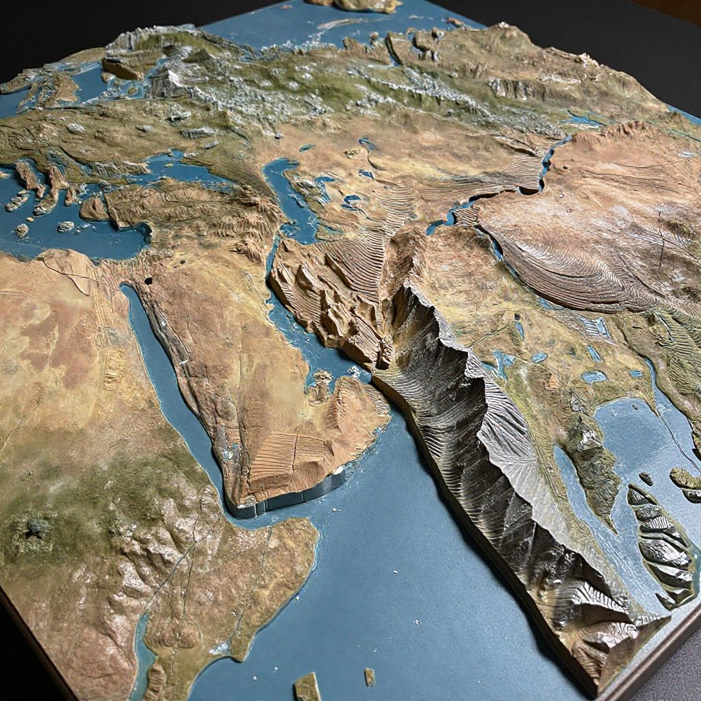
Highly detailed CGI topographic map of Europe and Africa, showcasing mountains, rivers, and landforms in a 3D, relief style.
Prompt:
Convergent plate boundary model illustrating the collision of two continental plates creating a mountain range, realistic terrain with fault lines, folding strata, and uplift zones, dramatic lighting emphasizing geological processes, perfect for scientific presentations and textbooks.
Model:
"Use prompt" will open Create Image tool and will load the prompt
"Remix" will open Create Image tool with this photo set as Reference
Image description:
A highly detailed, three-dimensional CGI map of Europe and Western Asia, viewed from space. The terrain is rendered with textured, shaded relief showing mountains, valleys, and coastal areas. Blue water bodies, such as the Mediterranean Sea and Caspian Sea, contrast with the brown and green landmasses. The map highlights varied elevations with striped patterns, emphasizing mountain ranges like the Alps and the Caucasus. The image has a realistic, almost tactile quality, with sharp shadows and highlights, providing a vivid, immersive geographical representation.
Related keywords:
Image license:
Royalte-free