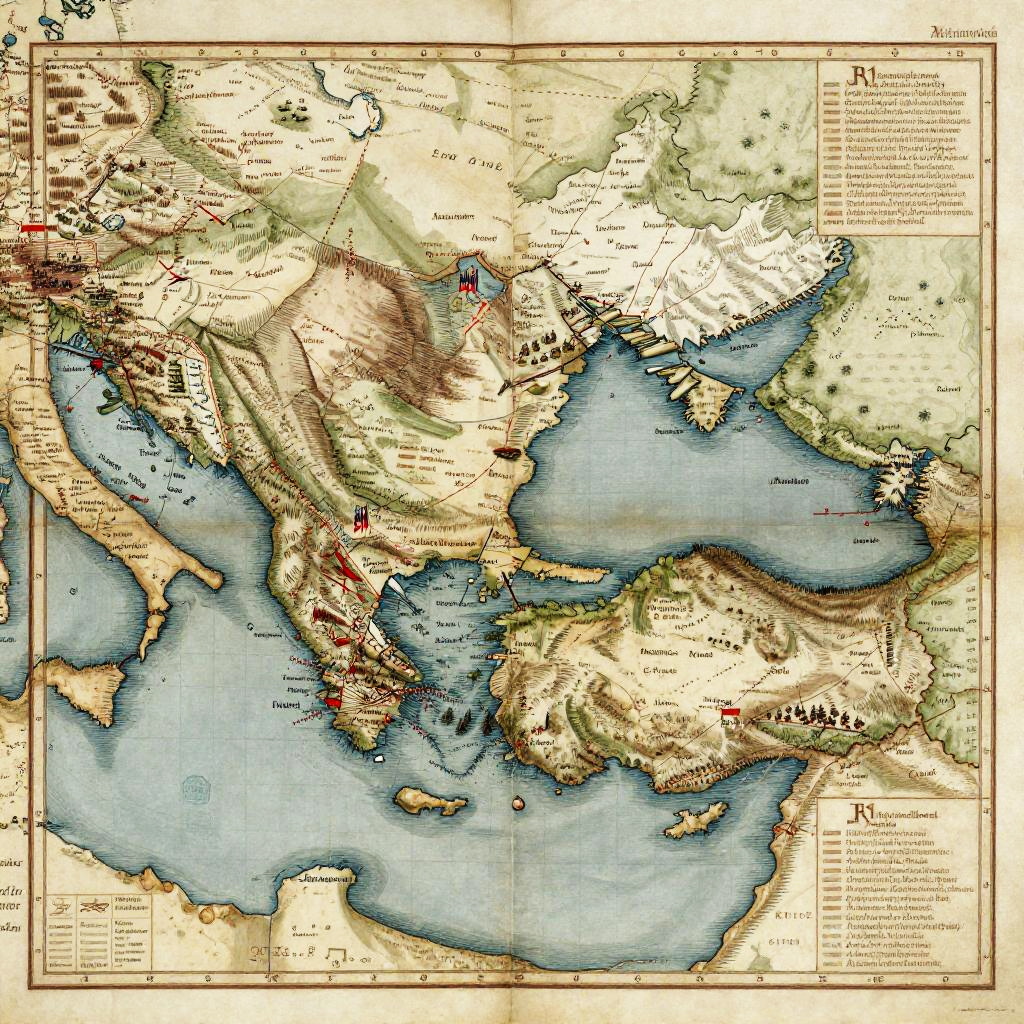
Antique-style map of Europe and North Africa with detailed topography, colored blue for water, and shaded relief, featuring text legends.
Prompt:
Alexander's conquest map illustrating the expansive Macedonian empire, rich in detail with highlighted cities, army movements, and topographical landmarks, styled as an antique manuscript, intricate calligraphy, muted earth tones, aged map with fold creases.
Model:
"Use prompt" will open Create Image tool and will load the prompt
"Remix" will open Create Image tool with this photo set as Reference
Image description:
This is a detailed, vintage-style map illustration depicting the Mediterranean region and surrounding areas. The map uses a mix of muted earth tones and vibrant colors, with blue shading representing the Mediterranean Sea and surrounding bodies of water. Landmasses are illustrated in beige, green, and brown, with topographical features like mountains and valleys shown in darker shades. The map includes numerous place names, borders, and labels in small, black, serif font. The borders are outlined in a thin black line, and the map has a slightly aged, parchment-like texture. The title and other text are located at the top right corner, while a legend is present in the bottom right.
Related keywords:
Image license:
Royalte-free