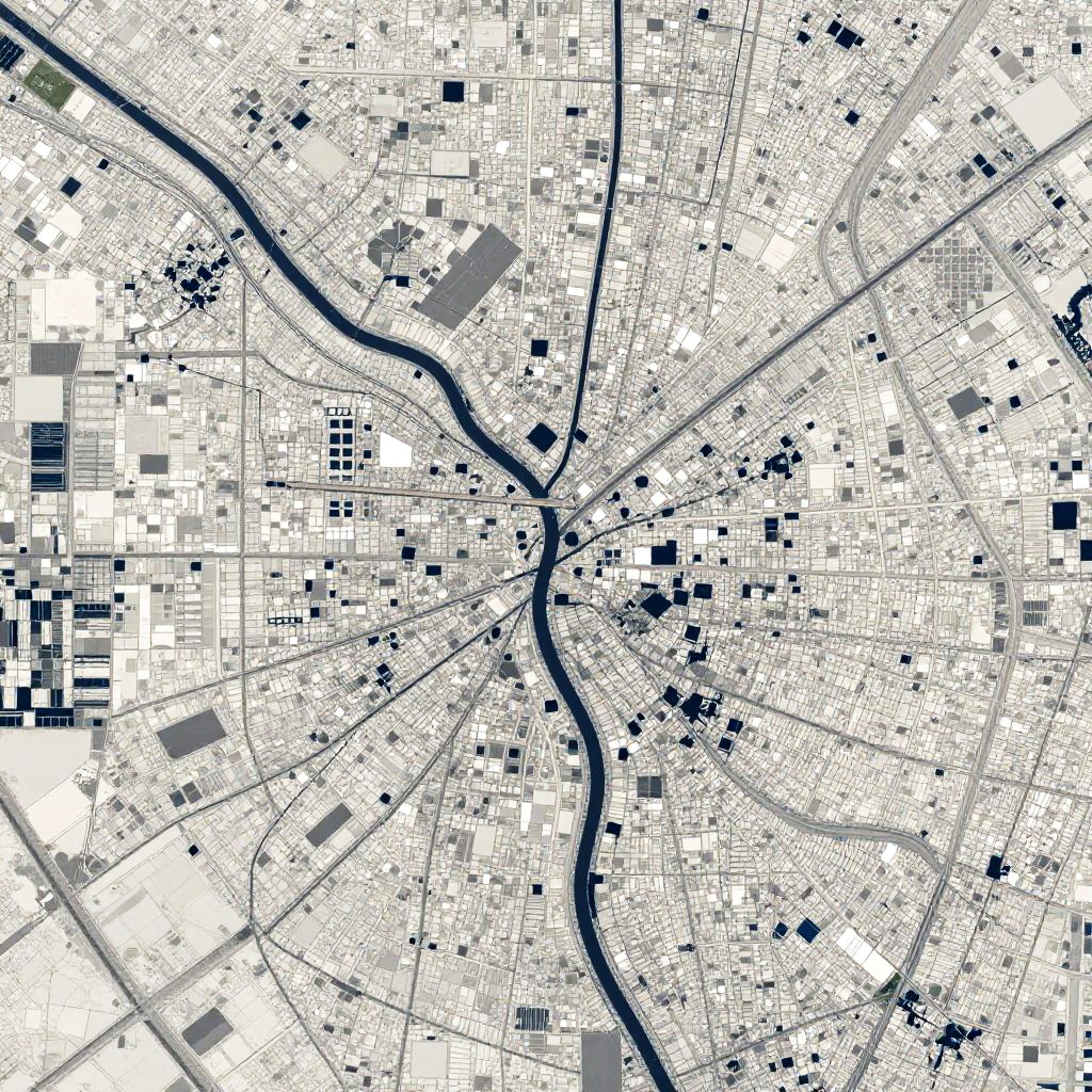
Black-and-white map illustration showing a detailed urban grid with winding roads, dotted buildings, and varied square and rectangular shapes.
Prompt:
This is a satellite-style aerial map image of a cityscape with a prominent river winding through the center. The map is heavily pixelated, with white and gray squares forming a grid pattern over the city. The river appears as a dark blue or black wavy line cutting through the gray squares. The overall feel is digital and somewhat abstract due to the pixelation.
Model:
"Use prompt" will open Create Image tool and will load the prompt
"Remix" will open Create Image tool with this photo set as Reference
Image description:
This is a digital map-style illustration depicting a detailed urban area. The image is predominantly black and white with various sizes of rectangular and square shapes representing buildings and streets. A prominent winding black river runs through the center, surrounded by a dense network of intersecting lines representing roads. The map is highly detailed, with a mix of smaller and larger shapes creating a textured, grid-like pattern. The background is white, while the buildings and streets are black, providing high contrast. The overall style is minimalistic and abstract, emphasizing the layout and connectivity of the urban landscape.
Related keywords:
Image license:
Royalte-free