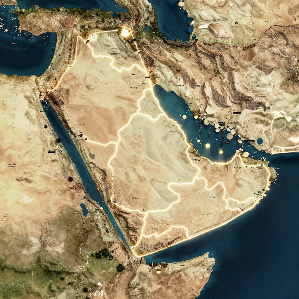
Satellite map of the Middle East and North Africa, highlighting desert terrain in beige, blue water bodies, and illuminated cities.
Prompt:
Ancient Israel geography, satellite-style visualization with glowing borders, highlighting tribal regions and ancient cities, muted sepia palette, archaeological map vibe
Model:
"Use prompt" will open Create Image tool and will load the prompt
"Remix" will open Create Image tool with this photo set as Reference
Image description:
This is a detailed satellite image of the Middle East and North Africa, showcasing topography with a color-coded elevation map. The landmasses are in shades of beige and brown, indicating deserts and arid regions. Bright white areas highlight high elevations, especially in the mountainous regions of the Arabian Peninsula. Dark blue represents the surrounding oceans and seas, including the Red Sea and the Persian Gulf. A prominent, narrow blue body of water runs diagonally from the lower left to the center. Black dots indicate cities or significant points of interest. The image has a high contrast with a realistic texture, emphasizing geographical features.
Related keywords:
Image license:
Royalte-free