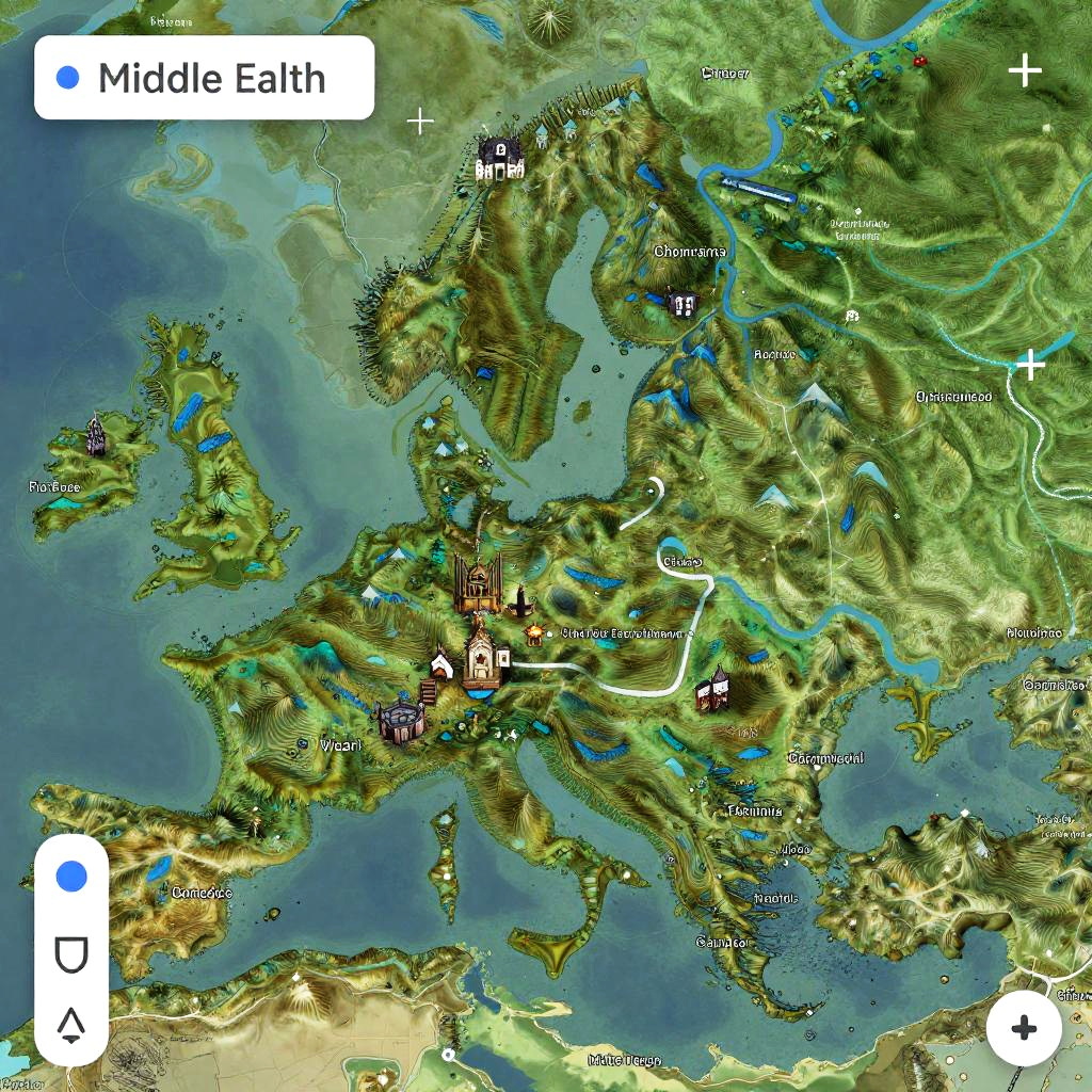
Digital topographic map of Europe, Middle East, and North Africa, showing mountains, rivers, cities, and terrain, with labeled regions and navigation buttons
Prompt:
Google Maps Middle Earth, ultra detailed fantasy map, vibrant colors, topographic style, mystical landscapes, mountains and rivers, Tolkien inspired, high resolution digital art
Model:
"Use prompt" will open Create Image tool and will load the prompt
"Remix" will open Create Image tool with this photo set as Reference
Image description:
This is a detailed, digital topographic map of Middle Earth from the Lord of the Rings series. The map showcases a vibrant, green and brown terrain with various mountains, rivers, and lakes. Key locations such as Gondor, Rohan, and Mordor are labeled with colorful markers. The map includes a legend in the top left corner, with a blue pin and directional arrow icons in the bottom left and right corners. The map has a textured, 3D appearance with shaded relief, depicting elevations and water bodies. The overall style is cartographic with a fantasy theme.
Related keywords:
Image license:
Royalte-free