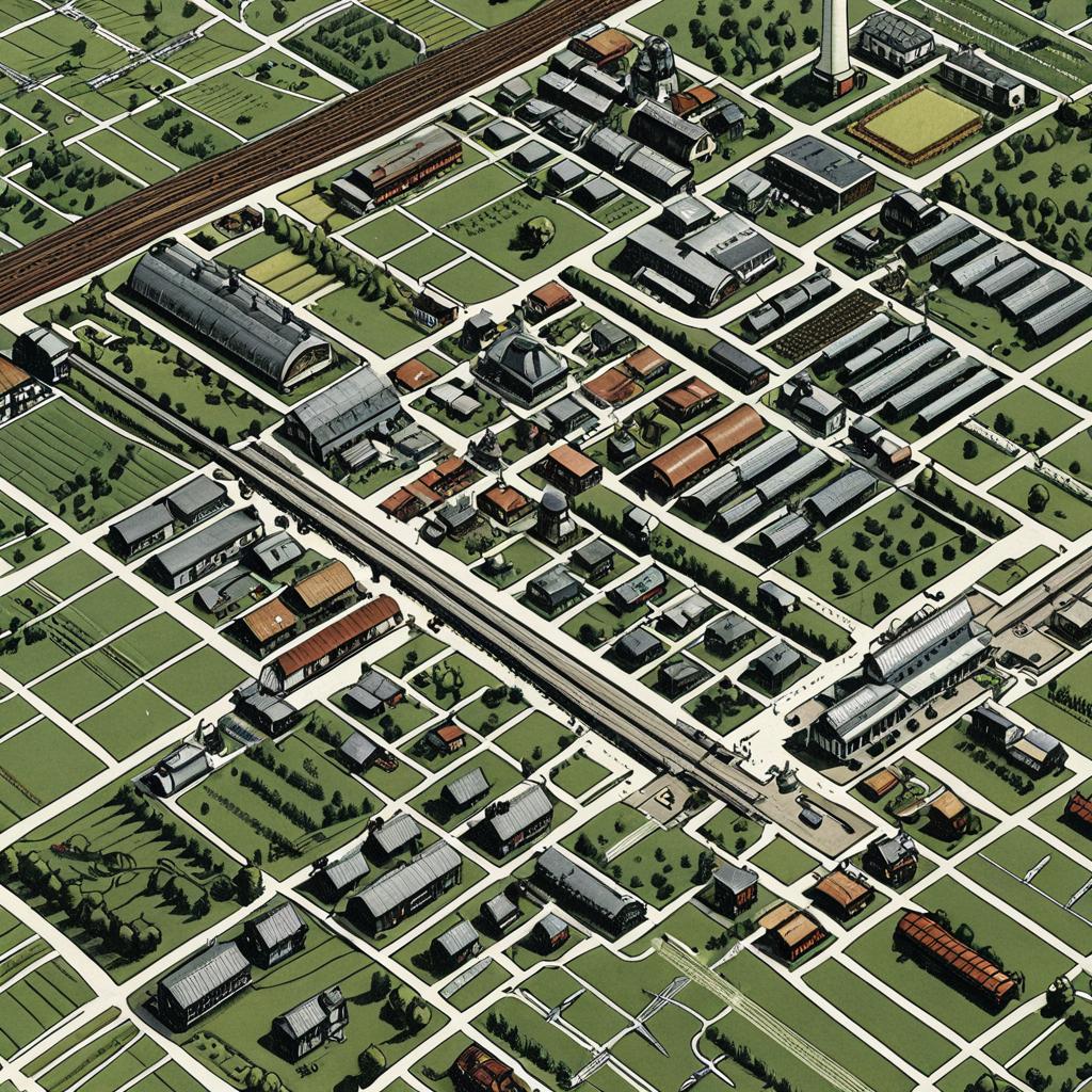
Aerial digital illustration of a suburban neighborhood featuring grid-like streets, varied rooftops, green lawns, and a railway running diagonally.
Prompt:
Sentiment isometric map of an art deco farming town in a 1920s atlas, full spread, wide view of several square miles, dense, intricate details, robots, farms, tractors, fields, main street, train station, school, wind turbines, roads, robots, futuristic airships, inset details, text callouts, text labels,
Model:
"Use prompt" will open Create Image tool and will load the prompt
"Remix" will open Create Image tool with this photo set as Reference
Image description:
This is a digital, isometric aerial map illustration depicting a suburban neighborhood. The image showcases a grid of green lawns and white street lines intersecting with rows of variously colored houses, including gray, brown, and red rooftops. A central railroad track runs diagonally from the top left to the bottom right, with a large building near its intersection with the grid. Small trees are scattered throughout the green lawns. The illustration uses a pixel art style, with a sharp, graphic quality and a limited color palette. The overall composition is orderly and symmetrical.
Related keywords:
Image license:
Royalte-free