Color-coded map of Afghanistan showing elevation and temperature differences, with a pink highlighted region in the southeastern area.
Prompt:
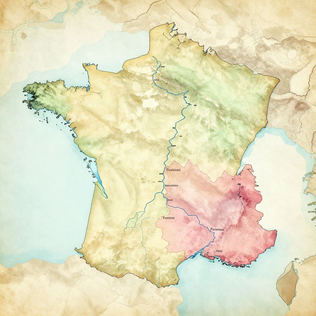
France geography map detailed vintage style, showing mountains, rivers, and cities, soft pastel colors, old paper texture background, artistic cartography illustration
Model:
"Use prompt" will open Create Image tool and will load the prompt
"Remix" will open Create Image tool with this photo set as Reference
Image description:
This is a digital map of Afghanistan, highlighting different regions with various colors. The map uses a color gradient with shades of yellow, green, and pink. Yellow and green areas represent the northern and central regions, while a prominent pink area in the southeastern part indicates a different administrative or demographic distinction. The map's edges are bordered by light blue, suggesting neighboring countries or water bodies. The map is detailed, with clear, thin black lines delineating borders. The background is a neutral beige, providing contrast to the colored regions. The overall style is modern and cartographic.
Related keywords:
Image license:
Royalte-free