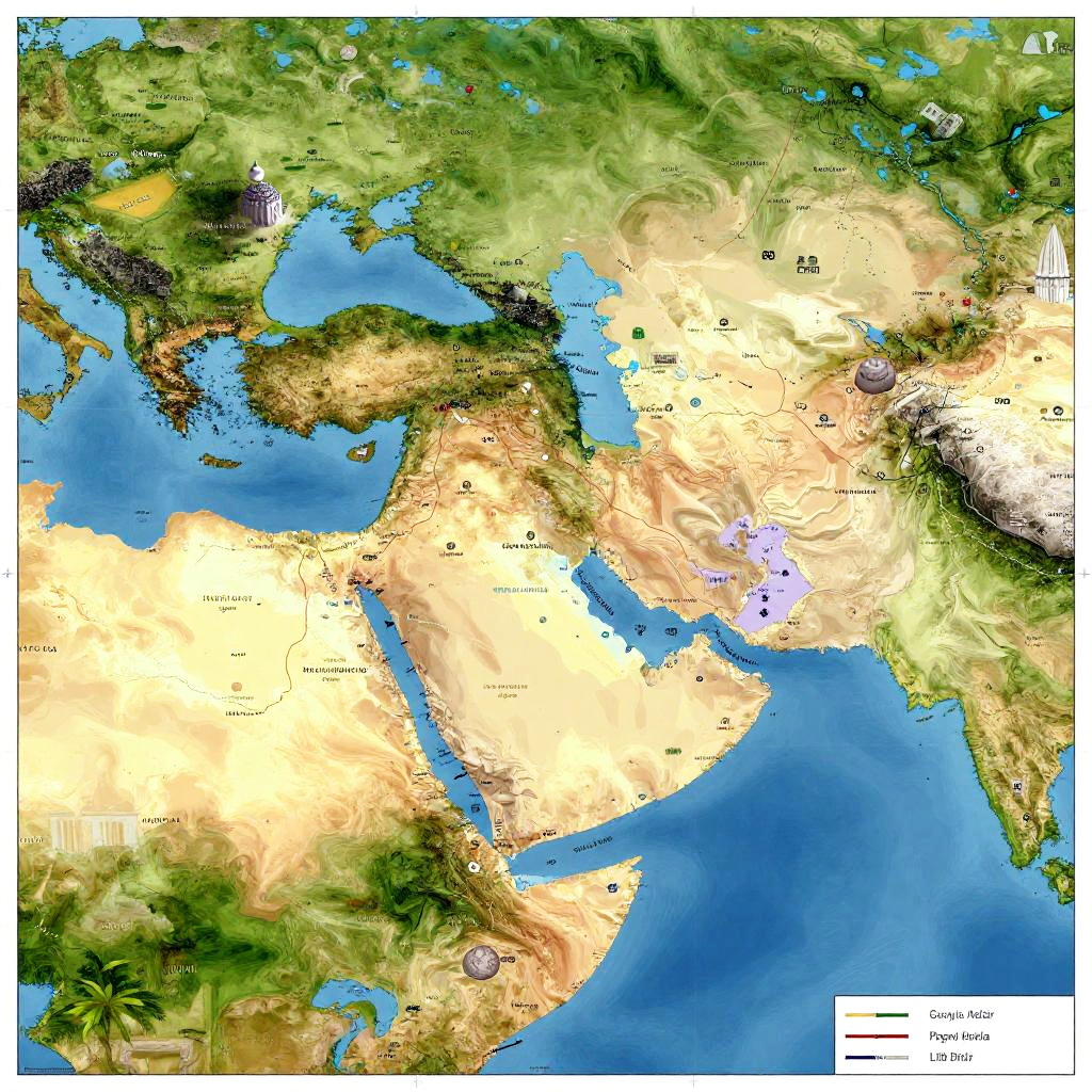
Detailed topographic map of Asia and Europe, showing elevation with green lowlands, brown deserts, and blue oceans, labeled with numbers.
Prompt:
Islam diffusion map illustrating the spread of Islamic faith from the 7th century across continents, vibrant historical map style with ancient trade routes and cultural icons.
Model:
"Use prompt" will open Create Image tool and will load the prompt
"Remix" will open Create Image tool with this photo set as Reference
Image description:
This is a detailed, color-coded topographic map of Asia and Europe, highlighting elevations and geographical features. The map uses shades of green for lowlands, yellow and beige for deserts, and brown for mountainous areas. Blue represents bodies of water like the Black Sea and Caspian Sea. Major mountain ranges, such as the Himalayas, are prominently displayed in brown. The map includes elevation numbers in black, with a legend in the bottom right corner showing a scale of 1:10 million. The map is bordered by the Atlantic Ocean to the west and the Pacific Ocean to the east.
Related keywords:
Image license:
Royalte-free