Color-coded topographic map of the Northern Hemisphere, highlighting elevation, terrain, and climate zones with detailed labels and a legend.
Prompt:
Islam diffusion map rendered in a vintage cartography style, highlighting key periods of Islamic expansion, cultural influences, and important centers like Mecca and Baghdad.
Model:
"Use prompt" will open Create Image tool and will load the prompt
"Remix" will open Create Image tool with this photo set as Reference
Image description:
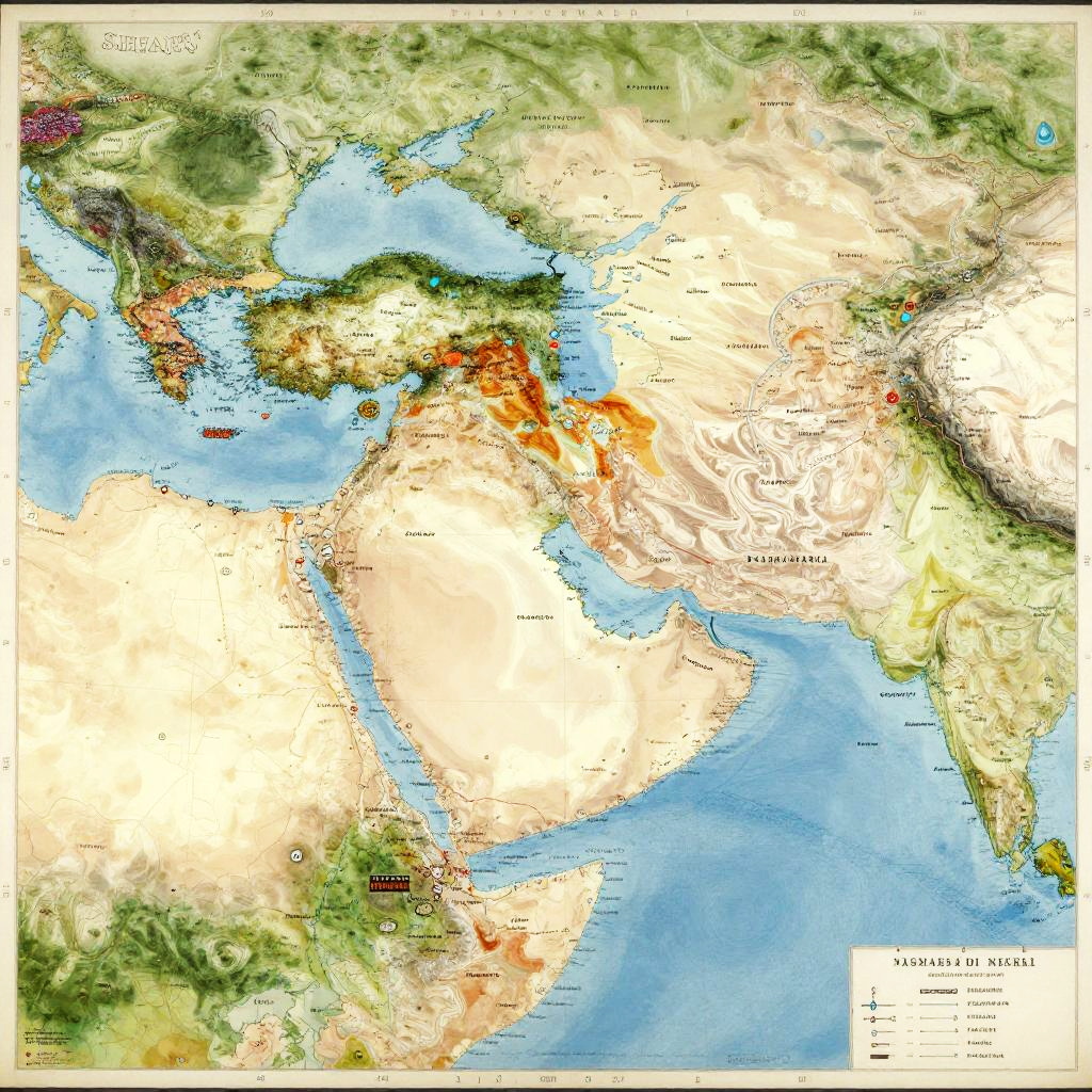
This is a detailed, colorful topographic map of Asia, Europe, and parts of Africa and Australia, highlighting elevation and terrain. The map uses a green, yellow, and brown color gradient to depict land elevation, with green representing lower elevations and brown and orange representing higher elevations. Blue represents bodies of water, such as the Pacific Ocean and Indian Ocean. Major countries like China, India, and Russia are prominently labeled, and mountain ranges like the Himalayas and Caucasus are highlighted in orange and red. The map also includes a legend in the bottom right corner, explaining the color coding. The surrounding areas are shown in a green gradient, indicating lower elevations. The map has a glossy, digital appearance with clear, precise lines and labels.
Related keywords:
Image license:
Royalte-free