Map of Eurasia highlighting Afghanistan and Pakistan with red markers, blue water bodies, and labeled countries; elevation contours in shades of green and beige.
Prompt:
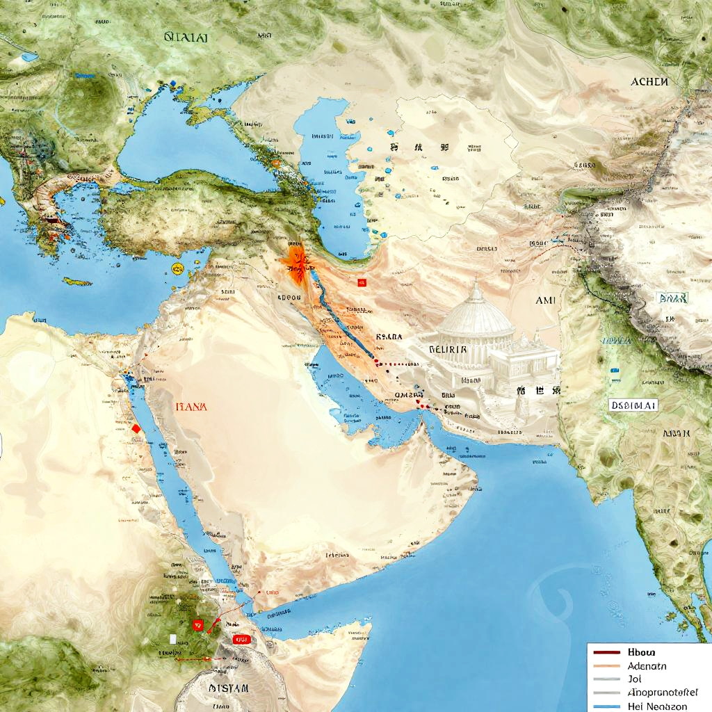
Islam diffusion map showcasing the expansion of Islam through trade, conquest, and cultural exchange with detailed geographic regions, ancient cities, and colorful annotations.
Model:
"Use prompt" will open Create Image tool and will load the prompt
"Remix" will open Create Image tool with this photo set as Reference
Image description:
This is a detailed, color-coded map of the Middle East and surrounding regions, highlighting countries and major geographical features. The map uses shades of green, beige, and white to denote different terrains, with blue representing bodies of water. Red markers indicate two specific locations: one in northern Iran and another in southern Turkey. Black text labels countries, including Iran, Turkey, Iraq, and Israel. A legend in the bottom right corner explains the color coding. The map includes topographical details, such as mountain ranges and deserts, and is bordered by the Black Sea, Caspian Sea, and Red Sea.
Related keywords:
Image license:
Royalte-free