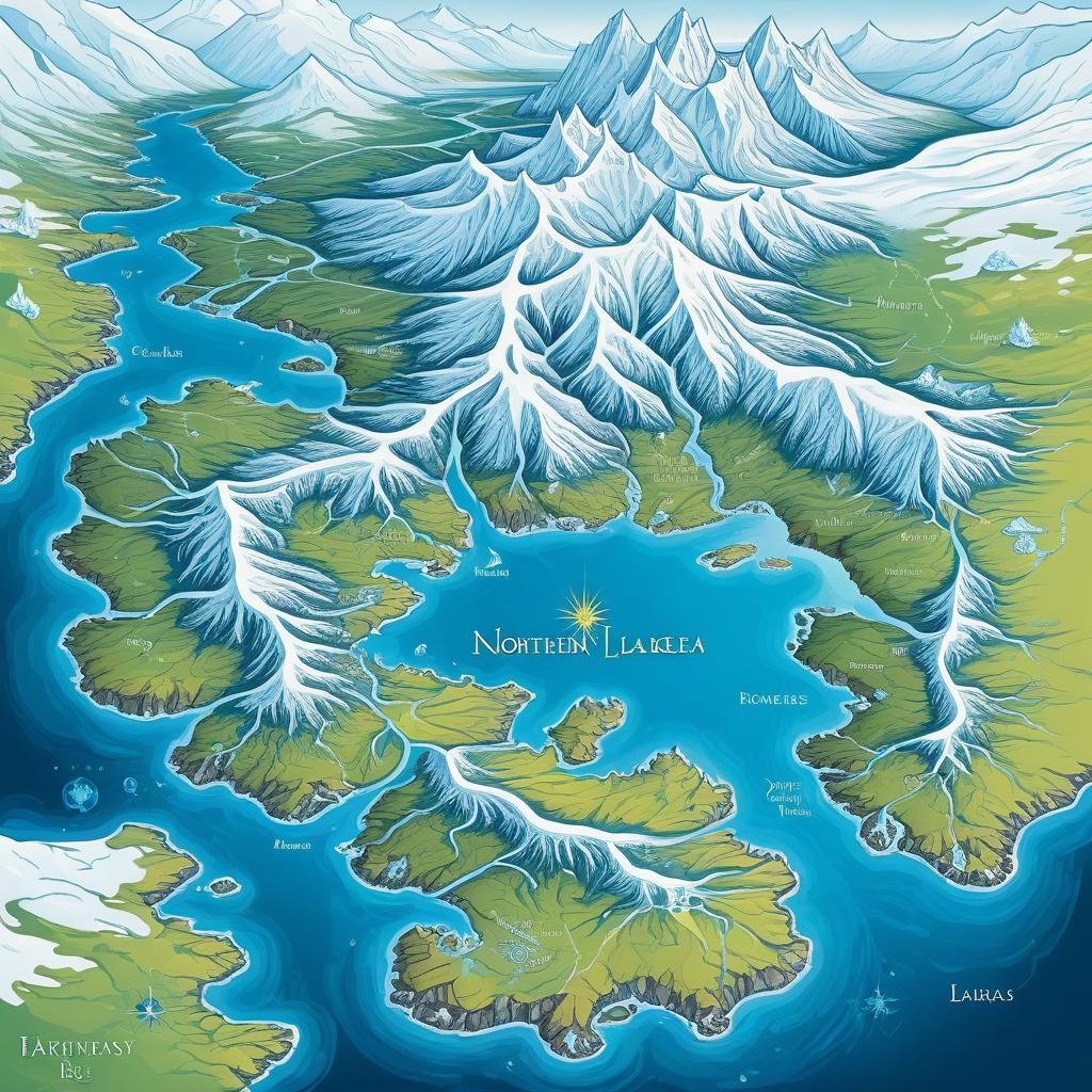
Colorful digital map of Northern Europe showing snow-capped mountains, green landmasses, blue seas, labeled countries, and a sun over North Sea
Prompt:
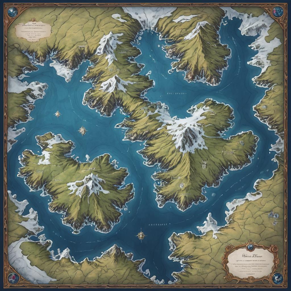
A fantasy map illustrating a northern provinces, featuring a glimmering lake at the bottom, with snowy tundra and rocky cliffs in the center, while the northern area includes rolling hills and rivers, bordered by a desert to the east.
Model:
"Use prompt" will open Create Image tool and will load the prompt
"Remix" will open Create Image tool with this photo set as Reference
Image description:
This is a colorful, digital illustration of Northern Europe's topography. It shows a map with snow-capped mountains in white, green landmasses, and vibrant blue seas. The map includes Norway, Sweden, Finland, and parts of Denmark and Iceland. Major mountain ranges, like the Scandinavian Mountains, are prominently featured. The sea is labeled "Northern Sea" with a sun symbol near Norway. The illustration also includes compass directions and the word "Latitude" in the bottom left corner. The style is vibrant and detailed, with clear, bold lines and bright colors.
Related keywords:
Image license:
Royalte-free