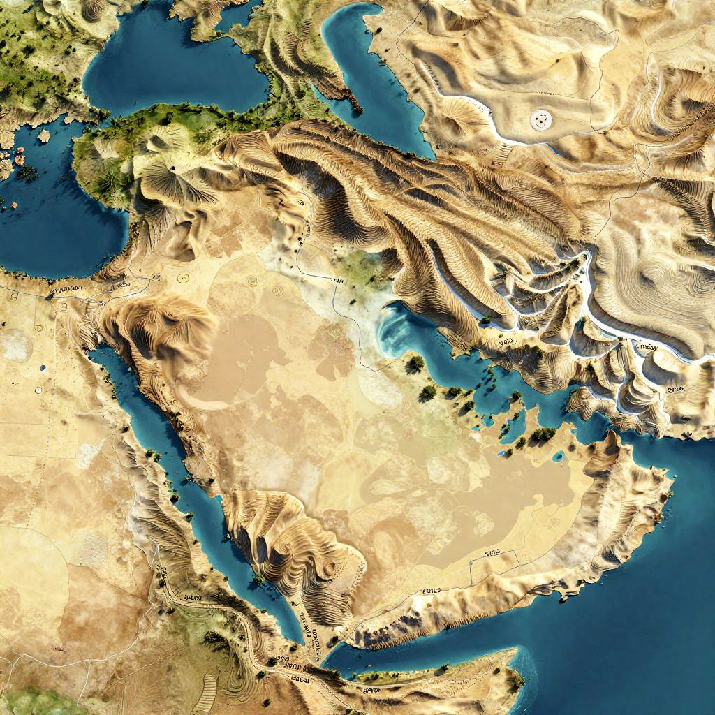
Topographic satellite image of a region with intricate, swirling land and water patterns in beige, blue, and green hues.
Prompt:
Ancient Israel geography, high-detail illustration of terrain variations, including hills of Judea and Galilee, desert plains, historic trade routes, rendered in realistic 3D style
Model:
"Use prompt" will open Create Image tool and will load the prompt
"Remix" will open Create Image tool with this photo set as Reference
Image description:
This is a digital topographic map with a highly stylized, abstract representation of a geographical region. It features a mix of blue, green, beige, and white colors. The blue areas represent large bodies of water, while the beige and green areas depict land, with the beige indicating desert-like regions and green indicating more vegetated areas. The white areas are mountainous regions with high elevation. The map has a swirling, almost marbled texture, giving it a dynamic and surreal appearance. The image lacks clear country boundaries or identifiable landmarks, focusing instead on the natural topography and color contrasts.
Related keywords:
Image license:
Royalte-free