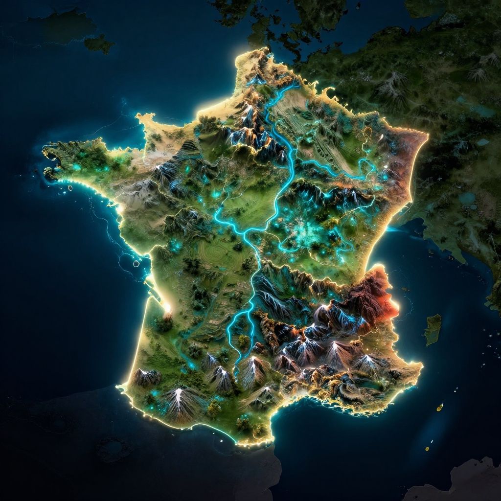
Photorealistic 3D map of France, illuminated with vibrant colors highlighting topography, rivers, and borders against a dark night sky.
Prompt:
France geography map fantasy style, glowing borders between regions, illuminated rivers and mountains, dark background with neon color accents, futuristic cartographic design
Model:
"Use prompt" will open Create Image tool and will load the prompt
"Remix" will open Create Image tool with this photo set as Reference
Image description:
This is a digital, 3D topographic map of a country, highlighted with vibrant colors and illuminated borders. The map features vivid green, blue, and red hues, with blue lines representing rivers winding through the terrain. The country's borders are outlined in bright yellow, glowing against the dark blue background. Mountainous regions are depicted with white peaks, and valleys are shown in darker shades. The map has a slightly textured, almost sculpted appearance, with a high contrast between the illuminated and darker areas, giving it a dramatic, almost futuristic look. The background is mostly dark, emphasizing the illuminated map.
Related keywords:
Image license:
Royalte-free