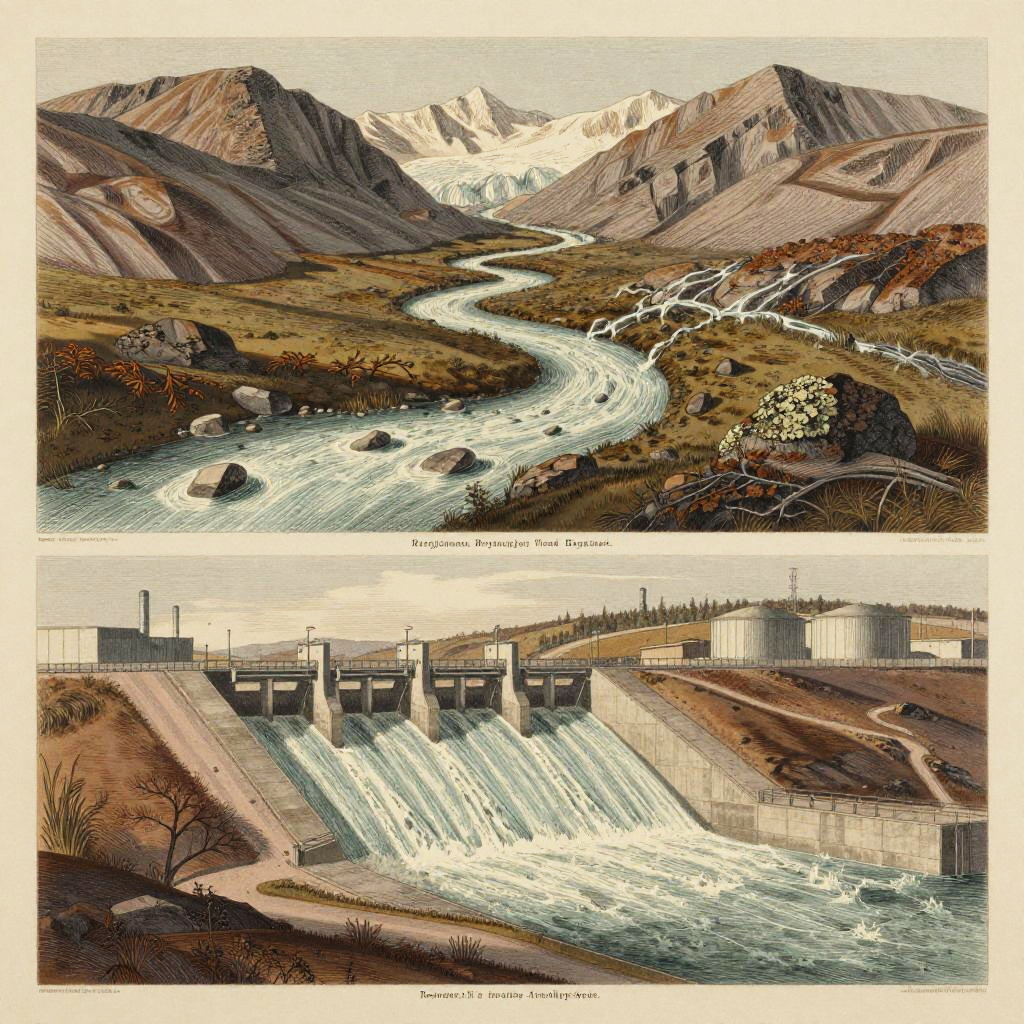
Illustration comparing natural river landscape and dammed river with industrial structures; top: winding river through mountains, bottom: dammed river with turbines. Text
Prompt:
Victorian scientific cartographic lithograph with sepia stippling and fine hatching of a river system divided into upstream and downstream sections. Upstream: braided glacier-fed high-mountain stream cutting through exposed moraine and alpine tundra, with meltwater rivulets and lichen-covered boulders, rendered with precise labels, topographical shading, and fine hatching. Downstream: regulated stepped spillway feeding a concrete reservoir basin with sluice gates, access roads, and adjacent industrial storage yards, showcasing engineered canalization and the stark contrast between natural flow and human intervention.
Model:
"Use prompt" will open Create Image tool and will load the prompt
"Remix" will open Create Image tool with this photo set as Reference
Image description:
This is a digital illustration in a vintage, detailed style. The top half depicts a natural landscape with a winding river flowing through a mountainous area, featuring rocky terrain, patches of grass, and snow-capped peaks in the distance. The bottom half contrasts this with an industrial scene showing a large dam with multiple spillways releasing water into a river below. The dam has silos and industrial buildings on the right. The colors are muted with earthy browns, greens, and grays, and the textures are detailed, mimicking traditional pen and ink drawings. The caption reads "Natural Water Flow" at the top and "Human Dams & Diversions" at the bottom.
Related keywords:
Image license:
Royalte-free