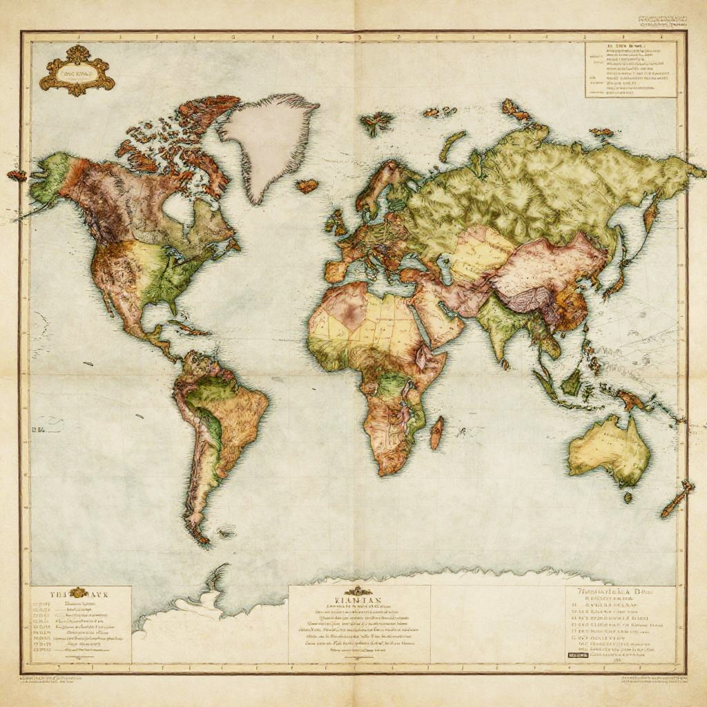
Vintage-style world map with detailed topography, colored by elevation; continents shaded in green, brown, and yellow; oceans in white.
Prompt:
1800 world map with vividly colored colonial territories, ornate borders and legends, classical antique map aesthetics, muted earth tone palette, hand-sketched mountains and rivers, subtle shading and cracks on paper, topographic details highlighting continents, old maritime map feel
Model:
"Use prompt" will open Create Image tool and will load the prompt
"Remix" will open Create Image tool with this photo set as Reference
Image description:
This is a detailed, vintage-style world map illustration in a color lithograph format. The map uses a combination of earthy colors including green, brown, yellow, and blue to depict different geographical regions. Countries are outlined in black with subtle shading to indicate elevation and terrain. The map includes labels for countries, oceans, and major landmasses, with Antarctica positioned at the bottom. The background is a light beige with a textured, aged appearance. A small compass rose is located in the top left corner, and there are scale bars and text in the bottom left and right corners. The overall style is reminiscent of early 20th-century cartography.
Related keywords:
Image license:
Royalte-free