Colored topographic map of Spain highlighting elevation and terrain, with green lowlands, yellow midlands, red highlands, and blue water.
Prompt:
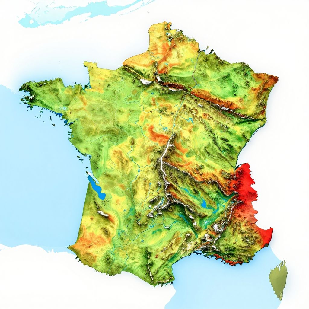
France geography map topographic view with elevation shading, vibrant colors highlighting mountain ranges, rivers, and plains, modern infographic style, clean design
Model:
"Use prompt" will open Create Image tool and will load the prompt
"Remix" will open Create Image tool with this photo set as Reference
Image description:
This is a digital, topographical map of Spain and Portugal, using a colorful relief style to depict elevation and terrain. Green shades represent lower elevations, while yellow and red hues indicate higher elevations. A prominent red area is located in the southwest, likely representing the Iberian Peninsula's mountainous regions. Blue areas indicate lower coastal regions, particularly noticeable in the western part. White lines represent rivers and coastlines. The map has a bright, clean background with a light blue color for the surrounding ocean. The overall style is vivid and highly detailed, emphasizing geographical features.
Related keywords:
Image license:
Royalte-free