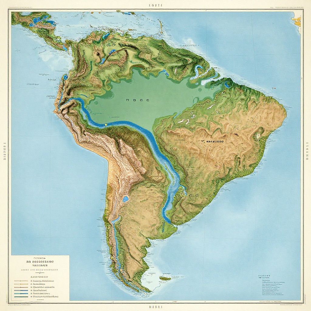
Detailed topographic map of South America, highlighting elevation, waterways, and country borders, with vibrant green, brown, and blue colors.
Prompt:
Lakes of South America map, beautifully illustrated with vibrant colors highlighting each major lake such as Titicaca and Maracaibo, detailed topographic features, vintage cartography style with elegant typography and subtle water reflections, 4k resolution.
Model:
"Use prompt" will open Create Image tool and will load the prompt
"Remix" will open Create Image tool with this photo set as Reference
Image description:
This is a detailed, color-coded physical map of the Americas. The map highlights topographical features, with green representing lower elevations, brown for higher elevations, and blue for bodies of water, including the Atlantic and Pacific Oceans. The Andes mountain range is prominently displayed along the western coast of South America, while the Amazon rainforest is marked in green. Major rivers, like the Amazon, are shown in blue. The map includes a key in the bottom left corner, labeling "Elevation," "Land," "Water," and "Ocean." The map is bordered by a white frame and includes latitude and longitude lines.
Related keywords:
Image license:
Royalte-free