Map of Europe, Middle East, and North Africa with a red arrow showing a temperature gradient from green (cooler) to orange (hotter).
Prompt:
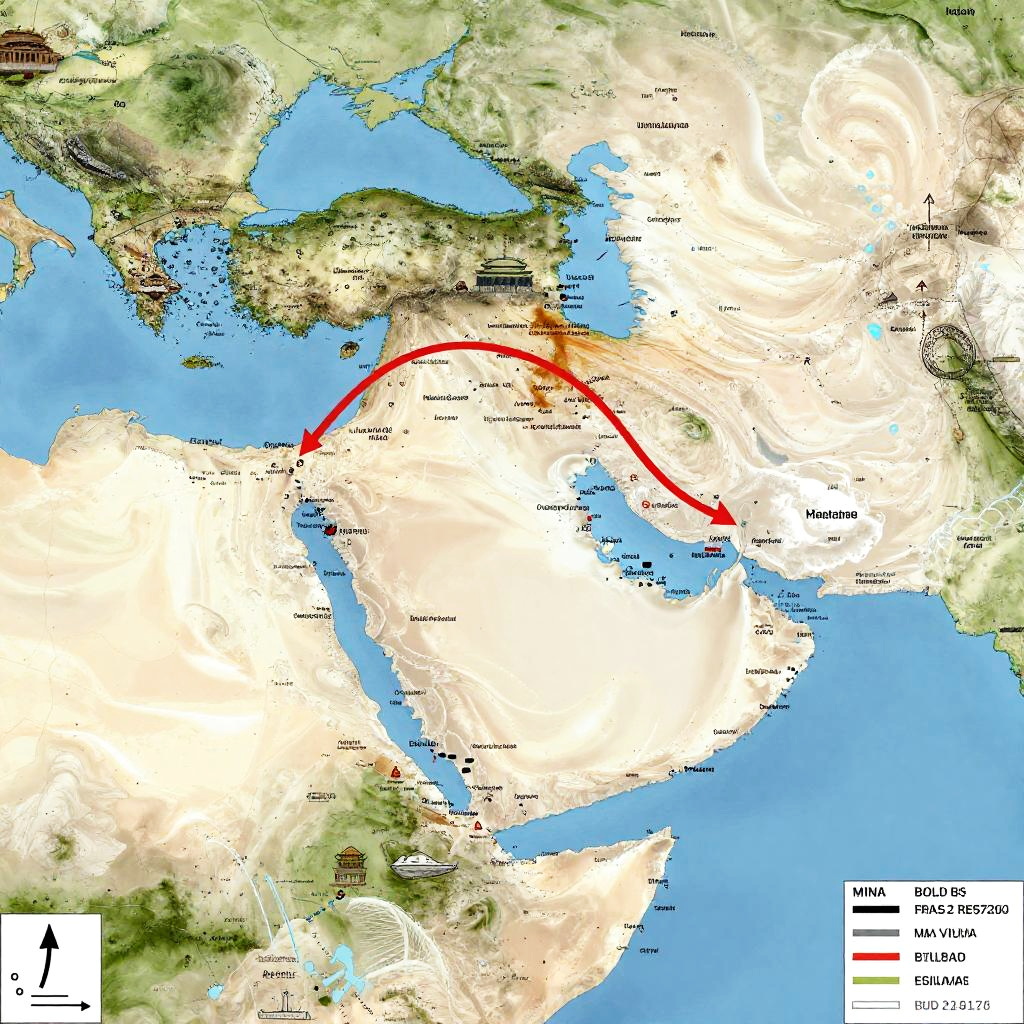
Islam diffusion map with a focus on the Middle East, North Africa, and Asia, featuring distinct timeline overlays, arrows indicating spread directions, and historic Islamic landmarks.
Model:
"Use prompt" will open Create Image tool and will load the prompt
"Remix" will open Create Image tool with this photo set as Reference
Image description:
This is a detailed, color-coded political map of the Middle East and Central Asia, highlighting a red arrow tracing a migration route. The map shows topography with green and brown landmasses, blue water bodies, and labeled countries including Iran, Iraq, Turkey, and Afghanistan. Major cities like Tehran, Baghdad, and Kabul are marked. The arrow starts in Iran's northwest and curves through Turkey, then onward to Afghanistan and Pakistan. A legend in the bottom left corner explains color codes for "Province," "Region," and "Migration." The map has a modern, digital style with clear, readable text and symbols.
Related keywords:
Image license:
Royalte-free