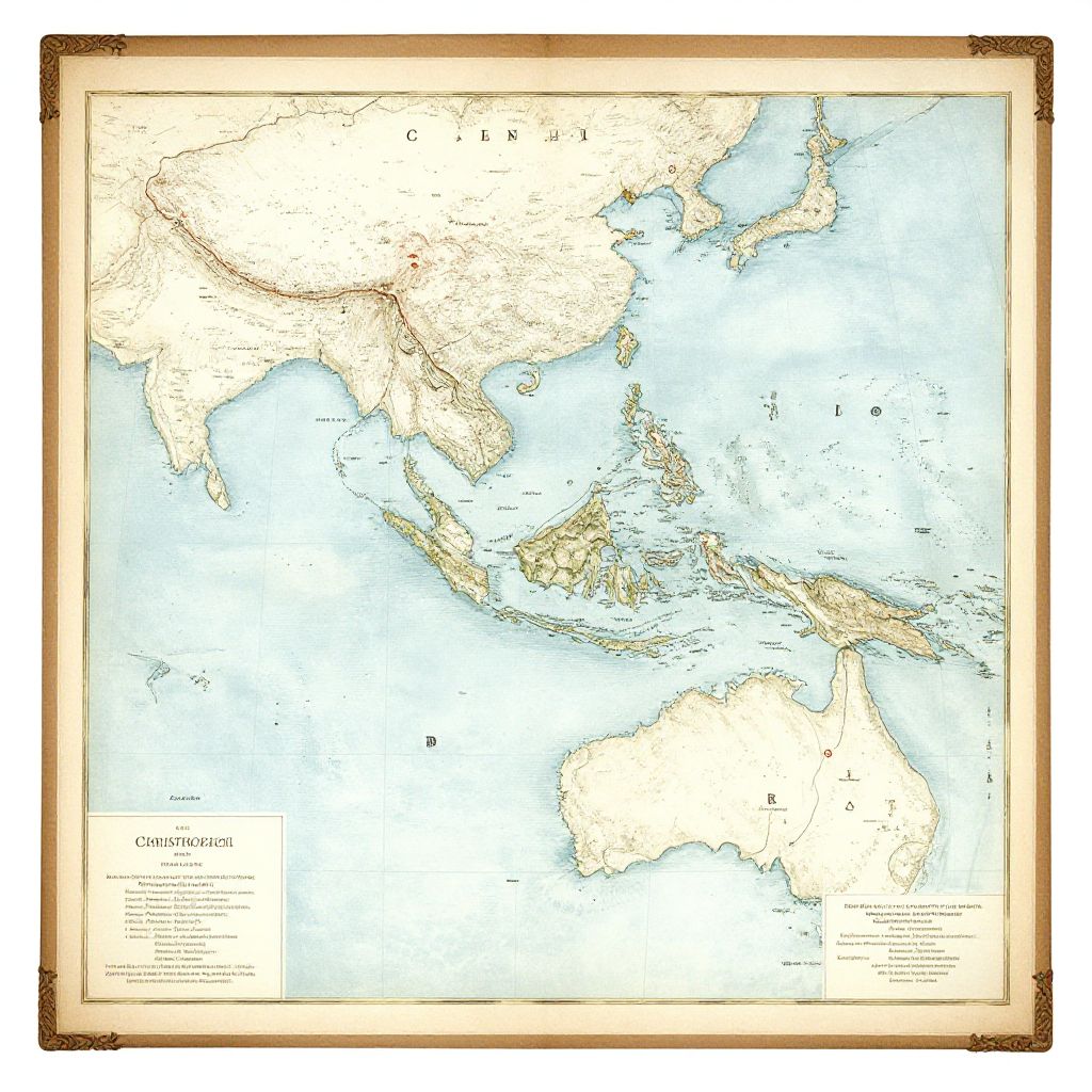
Vintage-style map of Asia and Australia with a beige border, highlighting countries, oceans, and labeled regions, in a detailed, colored illustration.
Prompt:
Christopher Columbus first voyage route map, elegant watercolor style, historical exploration theme with sea routes from Spain to the New World, including marked islands and annotations, framed with antique map borders and delicate hand-drawn illustrations
Model:
"Use prompt" will open Create Image tool and will load the prompt
"Remix" will open Create Image tool with this photo set as Reference
Image description:
A detailed, colorized map of Asia and Australia, framed with a vintage, brown, ornate border. The map features light beige land masses and a pale blue ocean, with country borders and major cities marked in black. The map includes labels for "OCEANIA" in the bottom left corner and a key in the bottom right. The north is at the top, with countries such as China, Japan, and Indonesia prominently displayed. The image is a digital illustration with a realistic, cartographic style.
Related keywords:
Image license:
Royalte-free