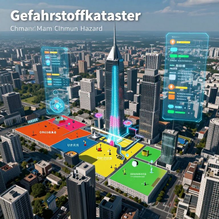
Aerial CGI of Chicago skyline with "Gelahrstoffkaster" overlay, featuring colorful zones and digital interface elements, highlighting urban infrastructure.
Prompt:
Gefahrstoffkataster futuristic city map showing chemical hazard zones integrated with environmental sensors, holographic displays projecting toxicity levels, urban landscape background, advanced safety technology theme, high detail
Model:
"Use prompt" will open Create Image tool and will load the prompt
"Remix" will open Create Image tool with this photo set as Reference
Image description:
This is a digital CGI image depicting a futuristic cityscape of Chicago's Marina City complex overlaid with a Gelahrstoffkataster (Chinatown/Marm Clumn Hazard) map. The city is viewed from an aerial perspective, showing a mix of tall skyscrapers and mid-rise buildings. The map includes colorful zones labeled "Universität," "UPA," "Spielplatz," and "Stadion" in German. Bright blue, green, yellow, and red zones indicate different areas. Transparent digital overlays with icons and text, such as traffic lights and a compass, float above the city, adding a technological, futuristic feel. The sky is partly cloudy, and the overall color palette is vibrant, with sharp contrasts between the colorful zones and the dark buildings. The image has a modern, sleek design.
Related keywords:
Image license:
Royalte-free