Detailed color map of Canada showing geographical regions, cities, and natural features in green, brown, yellow, and white. White background.
Prompt:
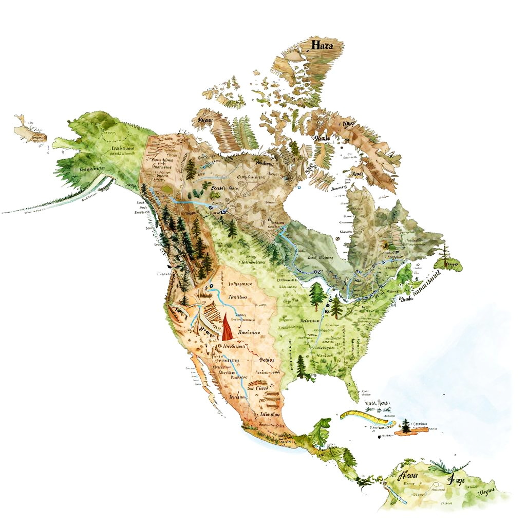
Artistic North America map labeled with indigenous territories, natural landmarks, rivers and cities, hand-drawn style with watercolor textures, soft pastel colors, elegant script labels
Model:
"Use prompt" will open Create Image tool and will load the prompt
"Remix" will open Create Image tool with this photo set as Reference
Image description:
This is a digital map of Canada, rendered in a watercolor style. The map uses a palette of green, brown, beige, and white to depict various regions. The western provinces are predominantly green, indicating dense forest areas, while the eastern provinces, such as Quebec, are more beige and brown, representing mixed forests and plains. Major cities like Toronto and Vancouver are marked with red dots. The map also includes black text labels for province and city names. The watercolor effect gives the map a textured, artistic appearance, with soft, blended colors and subtle gradients. The background is plain white.
Related keywords:
Image license:
Royalte-free