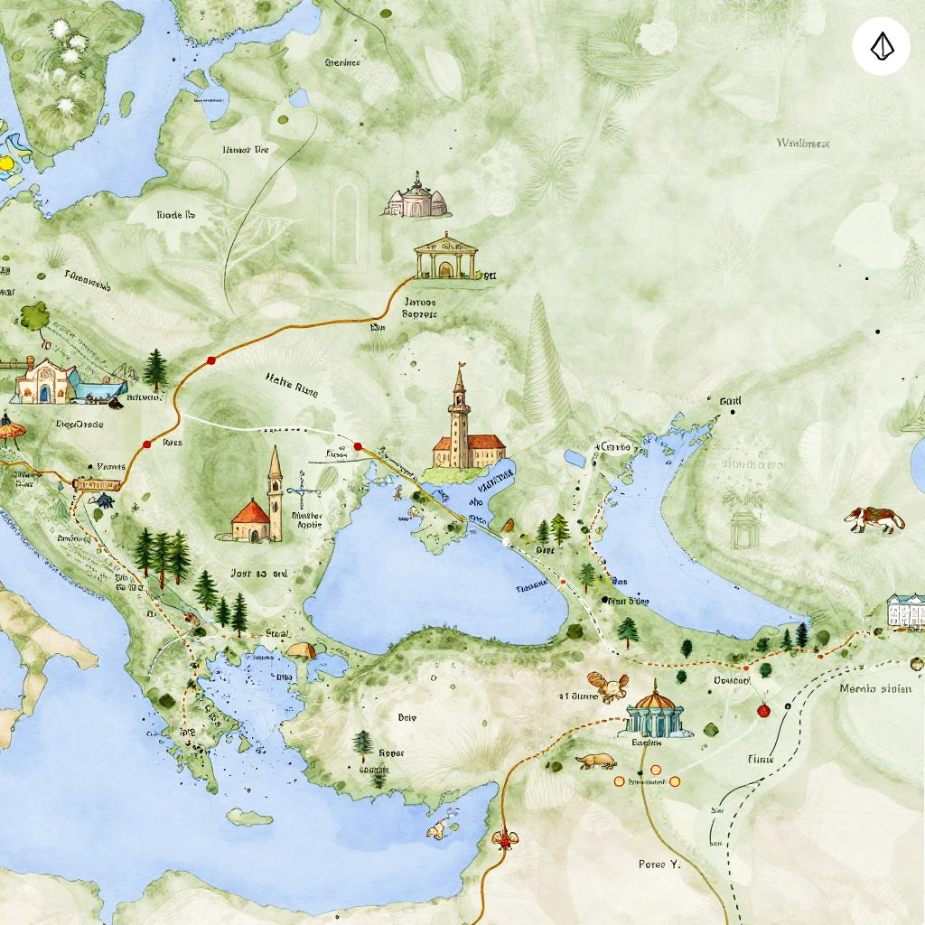
Colorful hand-drawn map showing a region with a central church, lakes, forests, and various villages, marked with labels and paths.
Prompt:
Google Maps Middle Earth, artistic watercolor map, hand-drawn style, iconic landmarks, fantasy cartography, soft pastel palette, mythical creatures and routes, immersive worldbuilding
Model:
"Use prompt" will open Create Image tool and will load the prompt
"Remix" will open Create Image tool with this photo set as Reference
Image description:
This is a colorful, hand-drawn map illustration depicting a fictional landscape with a mix of natural and man-made features. It showcases a large blue lake with winding rivers, surrounded by green hills and forests. Notable structures include a tall church with a pointed steeple near the center, a dome-topped building to the upper left, and several smaller houses and red-roofed buildings scattered throughout. A winding red road connects these locations, while a brown horse is depicted near the bottom right. The map also features various small trees, a bridge, and a small island in the lake. The background is predominantly green with light green hills and white areas representing clearings.
Related keywords:
Image license:
Royalte-free