Topographical map of Europe and North Africa in textured, gold-brown and blue, highlighting mountain ranges, with "Murray Atlas" watermark.
Prompt:
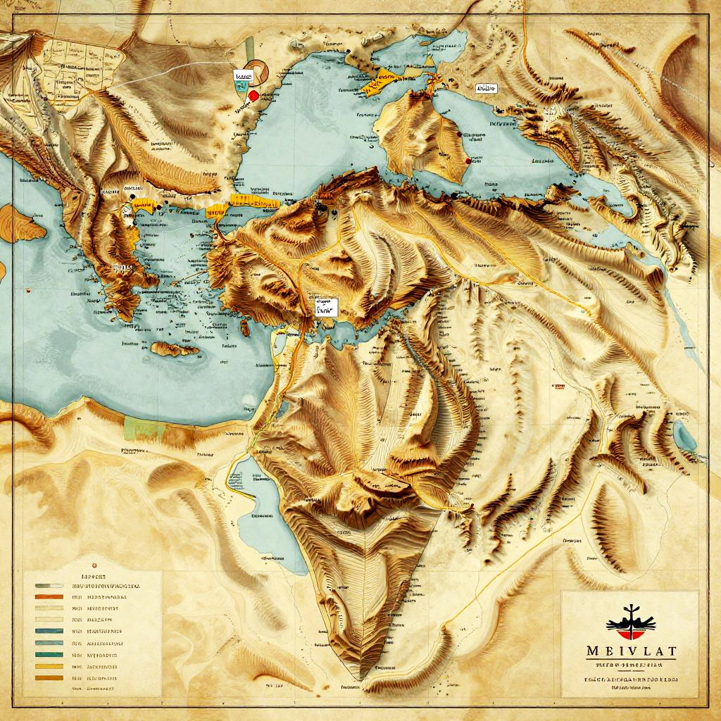
Ancient Israel geography, detailed map with topographic features, deserts, mountains, fertile valleys, historical landmarks, warm earth tones, vintage cartographic style
Model:
"Use prompt" will open Create Image tool and will load the prompt
"Remix" will open Create Image tool with this photo set as Reference
Image description:
This is a detailed, color-enhanced topographic map by M.B. Baker, depicting the mountainous regions of North Africa, the Middle East, and parts of Europe. The map uses shades of brown, beige, and yellow to represent elevations, with the highest peaks in dark brown and the lowest in light beige. Blue areas represent bodies of water. Major mountain ranges, including the Atlas and Caucasus Mountains, are prominently highlighted with darker brown shading. Cities and country borders are labeled in black text. The map has a textured, almost three-dimensional appearance, with a yellow border. The bottom right corner displays the map's title and author's name.
Related keywords:
Image license:
Royalte-free