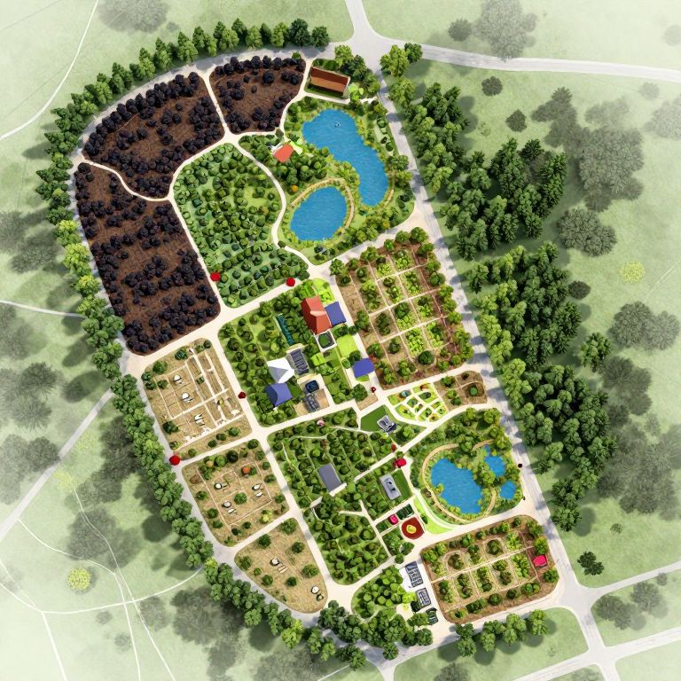
Aerial map illustration of a suburban park with two blue ponds, colorful buildings, parking areas, and lush green trees.
Prompt:
A detailed, hyperrealistic planning map for a permaculture farm and food forest, featuring colorful sections for dark color zones, trees, ponds, forests, houses, barns, walking paths, and other elements.
Model:
"Use prompt" will open Create Image tool and will load the prompt
"Remix" will open Create Image tool with this photo set as Reference
Image description:
Aerial, color digital map illustration of a suburban neighborhood. Central focus is a rectangular cluster of houses with a mix of brown, beige, and red rooftops, surrounded by lush green trees. Two blue oval-shaped ponds are situated among the greenery. White roads crisscross the area, providing access to various sections. Dark brown areas suggest wooded or undeveloped land. Red dots indicate specific points of interest. The map's top left and bottom right corners show more greenery, contrasting with the developed central area. The overall style is vibrant and detailed, emphasizing natural and built environments.
Related keywords:
Image license:
Royalte-free