Watercolor-style map of Germany with vibrant, multi-colored gradients highlighting different regions; varying shades of green, yellow, blue, red, and purple.
Prompt:
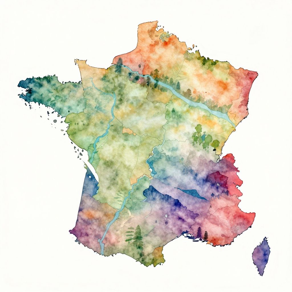
France geography map watercolor style with soft blending colors for regions, natural river patterns, stylized mountains and forests, artistic hand-painted effect
Model:
"Use prompt" will open Create Image tool and will load the prompt
"Remix" will open Create Image tool with this photo set as Reference
Image description:
This is a digital, watercolor-style map of Ireland. The map uses a vibrant, multicolored palette to represent different regions, with shades ranging from green and yellow in the central areas to red and purple in the southern regions. Blue lines indicate rivers. The northern part of the island is darker, while the western and eastern coasts are highlighted in lighter colors. The map has a white background and no additional text or labels. The overall texture is soft and blended, typical of watercolor art.
Related keywords:
Image license:
Royalte-free