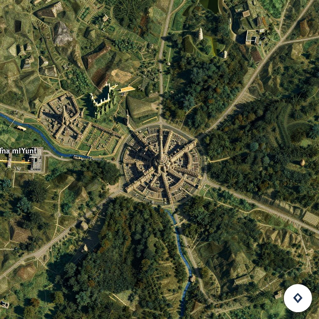
Aerial photograph of a dense, forested town with winding roads, buildings, and a central cluster, surrounded by greenery and a river. Compass
Prompt:
Google Maps Middle Earth, satellite view style, intricate terrain details, forests, ancient cities, detailed roads and rivers, realistic textures, fantasy world mapping, cinematic lighting
Model:
"Use prompt" will open Create Image tool and will load the prompt
"Remix" will open Create Image tool with this photo set as Reference
Image description:
Aerial photograph of a rural village surrounded by dense green forest and agricultural land. The village, located in the center, features a circular layout with tightly packed, beige-colored buildings and narrow roads. A winding blue river snakes through the forest to the bottom left. Roads radiate from the village center, connecting to the surrounding green fields and woodlands. The top left corner has a cluster of buildings, and a white label reads "The Mill". A white circular arrow icon is in the bottom right corner. The image has a slightly yellowish tint.
Related keywords:
Image license:
Royalte-free