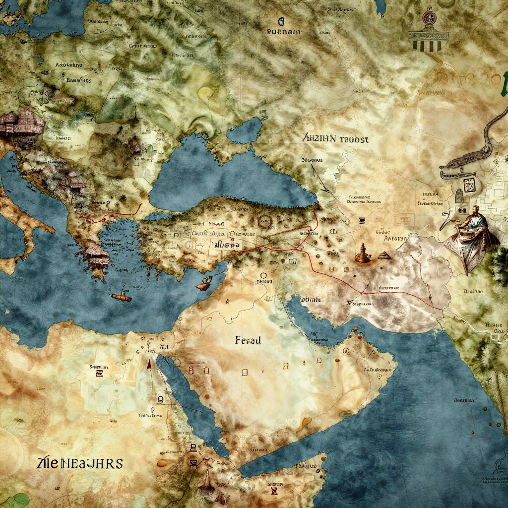
Detailed historical map of Europe and Western Asia, showcasing topography, cities, and bodies of water in vivid colors and labels.
Prompt:
Map of Alexander's empire portrayed with a blend of historical accuracy and artistic flair, including Greek symbols, ancient city icons, and warfare paths, rustic tones with faded ink effects
Model:
"Use prompt" will open Create Image tool and will load the prompt
"Remix" will open Create Image tool with this photo set as Reference
Image description:
This is a detailed, colorful map depicting the ancient world, focusing on the Mediterranean region. The map uses a topographic style with varying shades of beige, brown, and green to represent land, and deep blue for water. Major cities like Athens, Sparta, and Rome are labeled in black text. The Aegean Sea is prominently shown in the center, surrounded by Greece, Turkey, and parts of Europe. Mountain ranges and coastal areas are highlighted with texture. The map includes classical symbols such as a Greek temple and ship iconography. The bottom left corner has "Zeitloser" written in a stylized font.
Related keywords:
Image license:
Royalte-free