Black-and-white satellite map showing a detailed urban grid with intersecting lines and scattered white cloud formations, creating a checkerboard pattern.
Prompt:
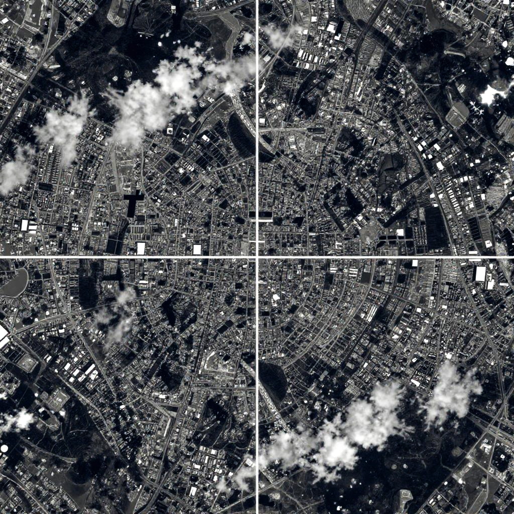
This is a satellite image showing a detailed aerial view of a cityscape, split into four quadrants. The image is in grayscale with dark blue and white contrasting areas, highlighting the city's intricate street patterns and layout. Bright white patches suggest clouds or illuminated areas, while dark blue represents denser urban areas and surrounding terrain. The image is slightly grainy, typical of satellite photography.
Model:
"Use prompt" will open Create Image tool and will load the prompt
"Remix" will open Create Image tool with this photo set as Reference
Image description:
This is a black-and-white, high-contrast, aerial photograph of a densely populated urban area, divided into four quadrants by white grid lines. The photograph shows a detailed, intricate pattern of streets, buildings, and patches of open space. Bright white clouds are scattered across the upper left and lower right sections. The cityscape features a mix of tightly packed buildings, roads, and intersections, with some larger open areas and green spaces interspersed. The overall texture is dense and complex, with a high level of detail in the urban layout.
Related keywords:
Image license:
Royalte-free